
Landform and Drainage Setting
In his 1934 study of the Rakaia Valley, geologist Robert Speight traced the Black Range as a continuation of the ridges around Mount Olympus and Mount Enys. On the southwestern side of Mount Harper, Burnet Stream flows into the Wilberforce, part of the Rakaia catchment. The upper Rakaia riverbed survey maps the stream’s confluence with the Wilberforce.
There is also a Mount Harper/Mahaanui on the Rangitata River. The Department of Conservation places that summit at 1,829 metres. The 2,222-metre mountain described here is the Black Range summit recorded by Land Information New Zealand and the New Zealand Alpine Club.
The Name and Arthur Paul Harper
The gazetteer records that the Black Range mountain was named for Arthur Paul Harper in 1926. Harper returned to New Zealand from England in 1889 and explored the Southern Alps. With George Mannering and Malcolm Ross, he helped found the New Zealand Alpine Club in 1891.
Harper’s 1922 notes in the Alpine Journal describe survey maps at one inch to the mile. The Surveyor-General sent nine Westland sheets and eleven covering the eastern side. The survey fixed peaks by triangulation. Rivers and glaciers often appeared only as outlines, and the two sets of sheets were difficult to align at the main divide.
Approaches and Terrain Character
The New Zealand Alpine Club’s route archive places White Col below the west face and southwest ridge. A line from the Waimakariri side passes an old trig station before reaching snow slopes and rock. Taken together, the route notes and the old survey maps show how climbers recorded the terrain between named summits.
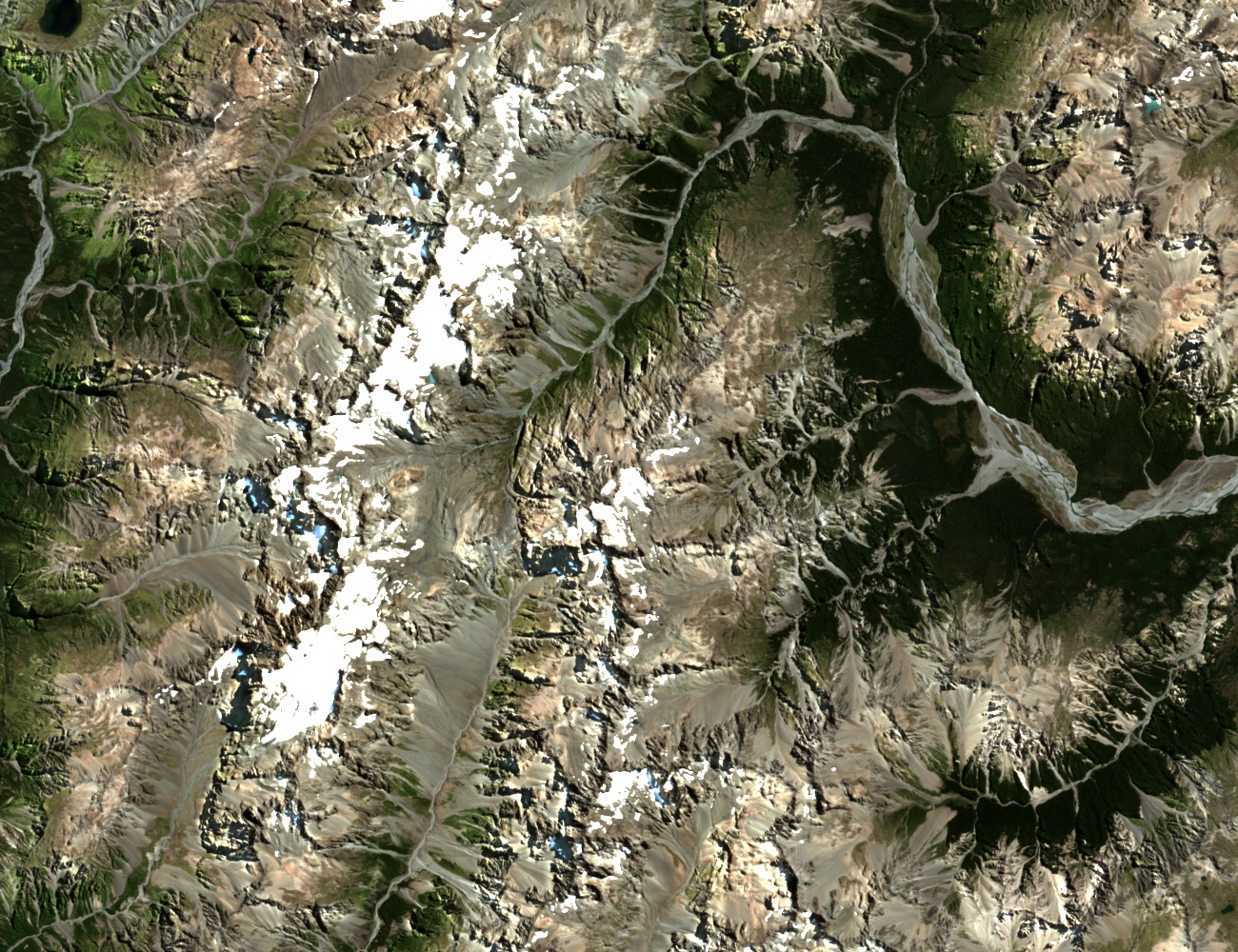
In the February 2025 satellite photograph, Mount Harper is just left and below the centre. Snow patches lie along the high crests, and the broader riverbed is visible on the Waimakariri side.