
A Point at the Watershed
The LINZ Gazetteer and the Te Waipounamu tangata whenua place names map treat Mount Harman/Kaniere as one combined designation, not two separate features. The summit anchors the ridge network that defines the Arahura headwaters. The name Harman Pass belongs to a distinct feature in the Arthur's Pass district, associated with the Waimakariri headwaters to the north.
The LINZ tangata whenua naming map notes a connection between the name Kaniere and a pass at the head of the Arahura. That traditional pass association belongs to the broader headwater geography; the Gazetteer entry records the dual name as applying to the summit point itself.
The Arahura Headwater Setting
The Arahura River descends from these ridges to the Tasman Sea. A Department of Conservation baseline report, prepared in partnership with Arahura interests, documents the river's environmental and cultural significance across its full length. Mount Harman/Kaniere stands at the uppermost reach of that catchment.
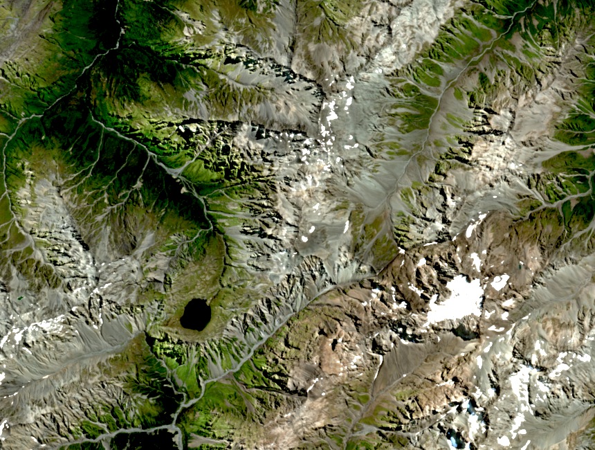
Landscape and Record
A 14 February 2025 Sentinel-2 image shows Mount Harman/Kaniere and the surrounding Arahura headwater ridges, capturing the compressed, heavily dissected terrain of the Southern Alps western flank. The dense ridge pattern visible from above makes clear why the summit point and the traditional Kaniere pass carry distinct geographic identities despite their proximity.