
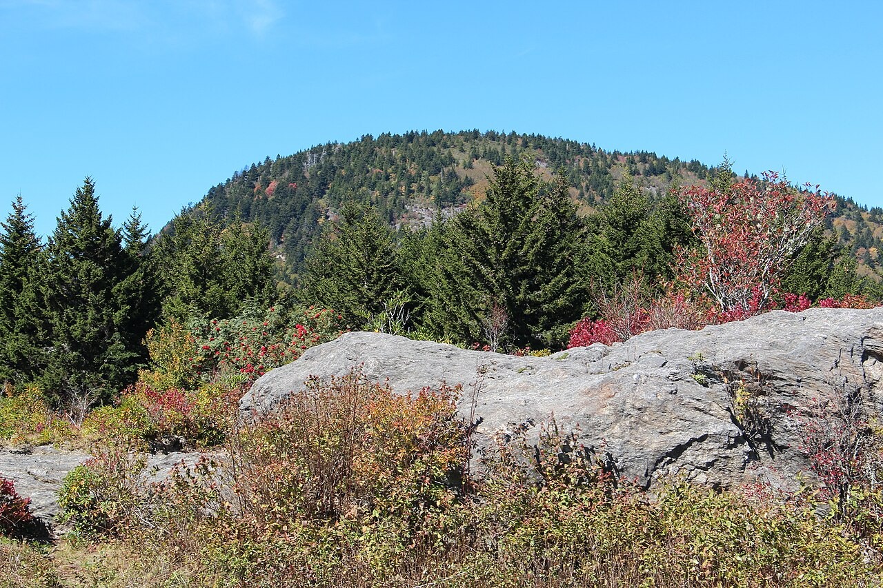
Named for a Mountain Explorer
The U.S. Board on Geographic Names officially adopted the name Mount Hardy in 1957, replacing the locally used Black Mountain. The name honors Dr. James F. E. Hardy, an Asheville physician who collaborated with Arnold Guyot to explore and name peaks across western North Carolina during the 1850s.
Forest History on the Northwest Slope
The northwest slope of Mount Hardy feeds the headwaters of Buckeye Creek, where red spruce and Fraser fir grow alongside northern hardwood stands. Abandoned logging railroad grades run through the drainage as evidence of early-twentieth-century timber operations, and the area also carries a history of wildfire from that period; it has been protected wilderness since 1984.
Flying Squirrels in the Spruce Stands
A radio-tracking study published in 2014 followed five Carolina northern flying squirrels on Mount Hardy and reported a foraging preference for mature red-spruce stands with dense Fraser fir and spruce regeneration and rhododendron.