
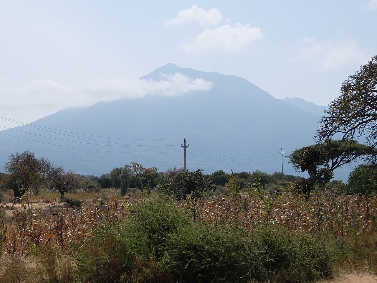
Volcanic Form and Surrounding Landscape
Hanang's volcanic origin shapes both its profile and the terrain around it. The Tanzania Forest Services Agency places the mountain in a wider setting that includes views toward Gendabi salt lake, a lowland feature whose alkaline chemistry differs markedly from the closed forest of the upland reserve. The pronounced altitude gradient between the Katesh uplands and the drier Rift-margin terrain at lower elevations defines the landscape context in which the reserve sits.
The Nature Forest Reserve
Mount Hanang Nature Forest Reserve covers 5,871 hectares according to the Tanzania Forest Services Agency and is characterised by closed forest, a canopy dense enough to distinguish it ecologically from the open woodland and scrub more typical of the surrounding lowlands. The Himiti Waterfalls are identified as a notable feature within the reserve.
Cultural Significance and Endemic Wildlife
The Tanzania Forest Services Agency identifies both the Barbaig and Iraqw peoples as communities with sacred sites associated with Mount Hanang. The two communities have distinct histories and relationships to the land around Katesh, and the agency treats their connections separately.
The forested slopes also support the Hanang mole-rat, Fukomys hanangensis, an endemic species cited by the Tanzania Forest Services Agency as present on the mountain. The existence of an endemic mammal on a single Tanzanian peak reflects how isolated upland environments, elevated and separated from adjacent highlands, can produce biological distinctiveness over time.