
Two Volcanic Edifices
The Smithsonian Global Volcanism Program distinguishes two separate volcanic constructs in the Halimun area. The northwest edifice carries the 1,929-metre summit elevation recorded as Gunung Halimun Utara in the national park profile, situated in the western portion of the park. The GVP assesses the last significant activity to the late Pleistocene.
Forest and Watershed Protection
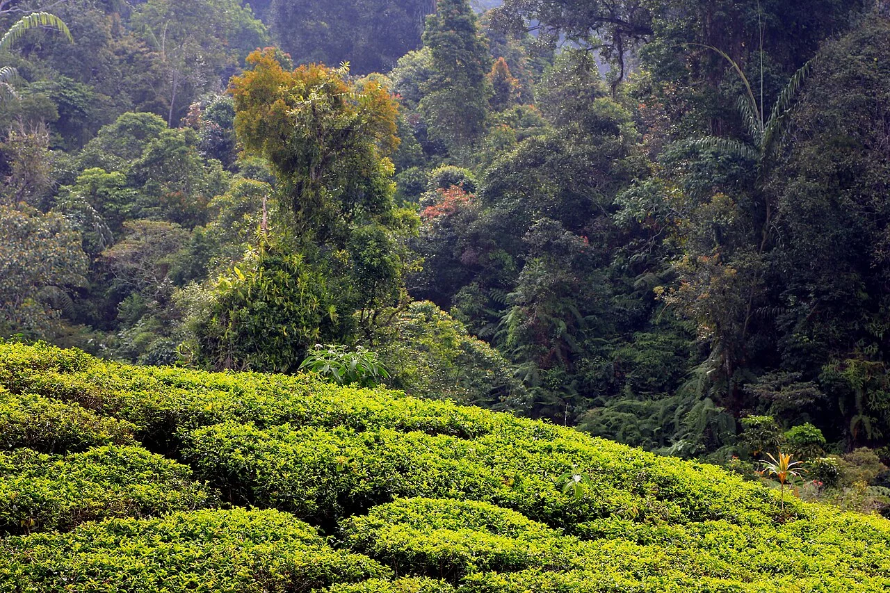
Indonesia's Forestry Ministry established Mount Halimun National Park in 1992, then expanded the protected area in 2003 to incorporate Gunung Salak, forming Mount Halimun Salak National Park. The ministry's conservation profile notes the park's catchment role and records the Javan gibbon and Javan hawk-eagle among the fauna present within its tropical montane forest.
Megalithic Sites Across Three Districts
Indonesia's Ministry of Education records megalithic sites distributed across the Bogor, Sukabumi, and Lebak districts that form the geographical setting of the Halimun mountain landscape. These stone monument remains reflect a pre-Islamic highland West Java tradition, with their spread across three administrative districts indicating the breadth of the landscape in which this heritage is embedded.