
A Geographer's Name
Botanist Samuel B. Buckley proposed the name before 1859 to honor Arnold Guyot, a Swiss-American geographer who mapped the southern Appalachians through surveys documented in Library of Congress holdings for 1856, 1859, and 1860. An early USGS topographic sheet bearing his name appeared in 1893, and the U.S. Geographic Board's archived 1932 decision formalized what had already become established professional usage.
Metamorphic Geology
USGS quadrangle mapping of the Mount Guyot area identifies slate and metamorphosed sandstone in the bedrock of the mapped region, with the Thunderhead Sandstone among the formations present across the broader Great Smoky Mountains area.
Spruce-Fir Forest Monitoring
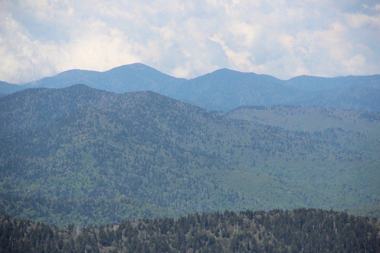
The National Park Service established permanent spruce-fir monitoring plots near Mount Guyot and four other high summits in 1989–1990, revisiting them on a ten-year schedule to track Fraser fir regeneration in relation to balsam woolly adelgid pressure and climate change. The program treats Mount Guyot as one node in a network of high-elevation sites, tracking species composition and regeneration over decades.