
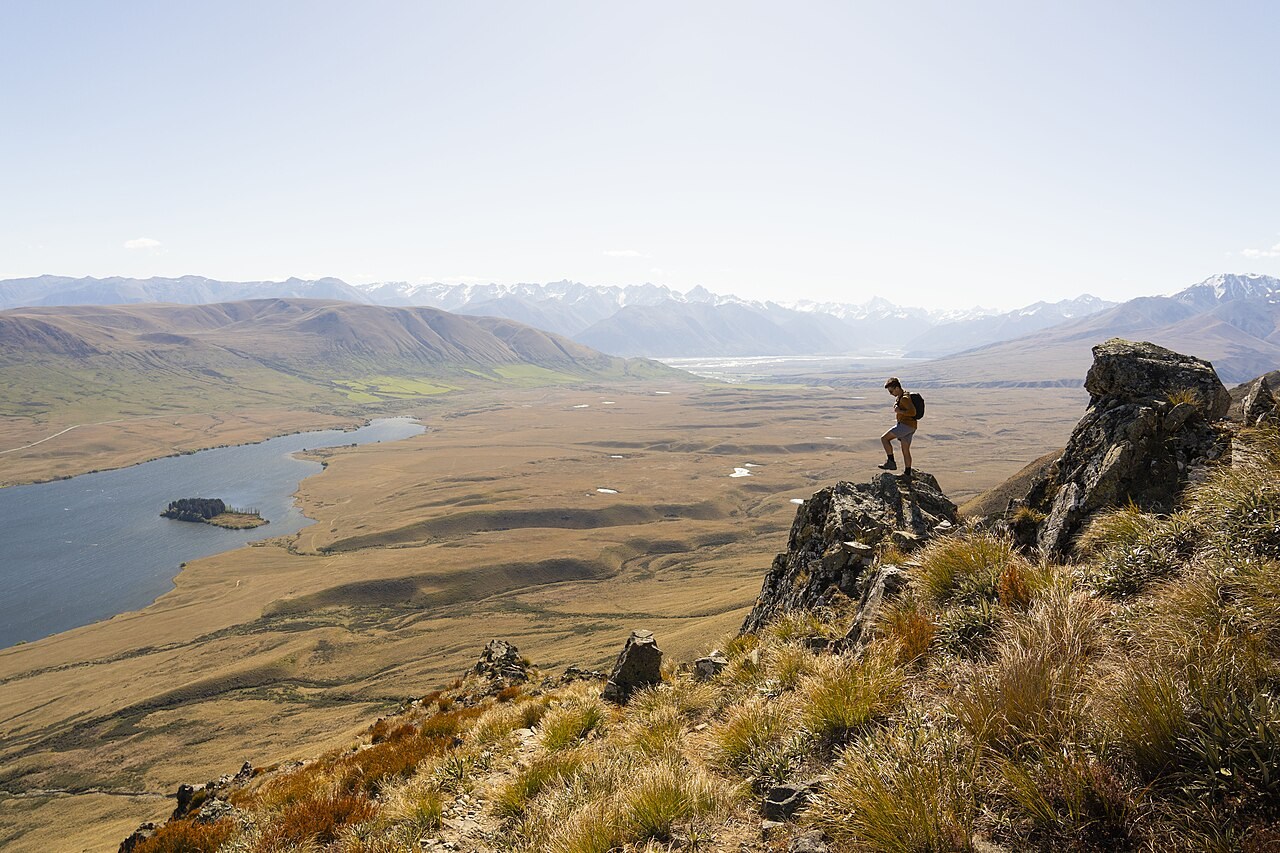
Summit and Upper Slopes
The Department of Conservation records the summit at 1,319 m. The upper slopes are open in character, and the high point looks out across the Ashburton Lakes district. The mountain forms the elevated margin of a landscape shaped by the contrast between bare high ground and the water-filled basin below.
Lake Clearwater and the Basin Floor
Lake Clearwater lies directly beneath the mountain within Hakatere Conservation Park, one of several lakes in the Ashburton Lakes grouping. The valley floor is a mosaic of lakes, swamps, streams, braided rivers and kettleholes — landforms distinct from the open slopes of Mount Guy above. That contrast between alpine terrain and the wetland complex at its base is a defining characteristic of this part of the park.
Ō Tū Wharekai Conservation Landscape
The Ō Tū Wharekai wetland landscape surrounds the lake country in which Mount Guy sits. The 1998 Ngāi Tahu settlement formally recognized the association and values of this wider lake district, and DOC manages the area under a partnership approach that treats the wetland and lake mosaic as a coherent conservation unit.