
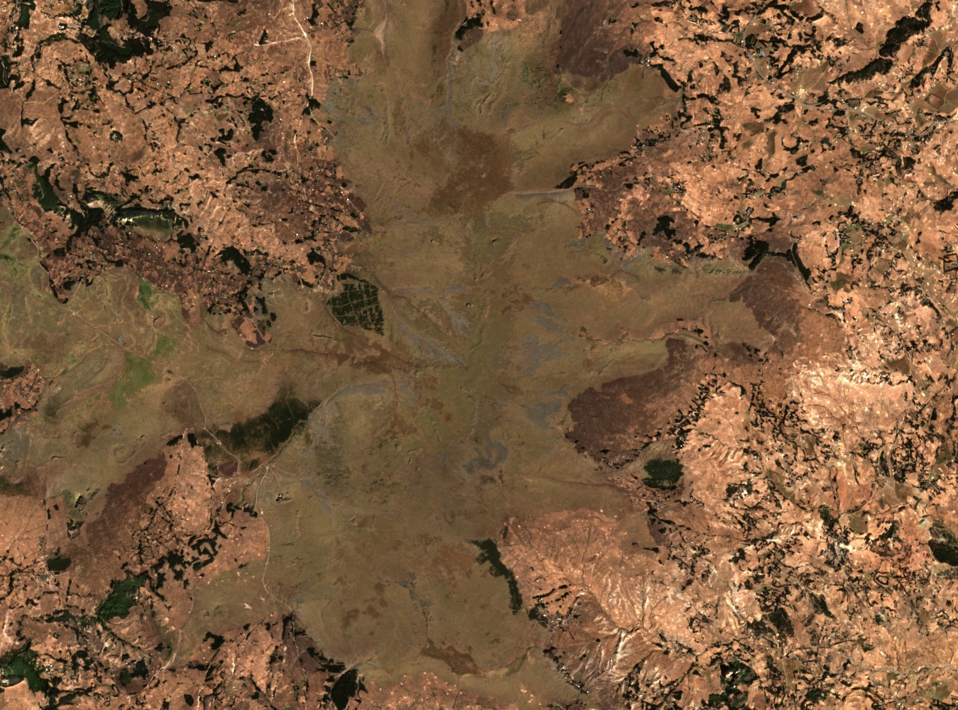
Summit Elevation and Regional Cataloguing
World Ribus, which maintains a catalogue of Ethiopian Highlands summits, records Guna at approximately 4,120 metres. A published gelada field study conducted on the mountain cites the summit at 4,113 metres, reflecting differences in measurement source or reference datum. Guna ranks among the higher peaks of the northern Ethiopian Highlands and is catalogued within the World Ribus Ethiopian Highlands list.
Gelada Survey at the Community Conservation Area
A 2021 field study published in the International Journal of Zoology used transect surveys to assess Theropithecus gelada abundance and habitat use at Mount Guna's Community Conservation Area. Researchers recorded 56 individuals across four survey locations during fieldwork, with 42 observed outside the protected area and 14 inside. These figures represent survey counts from that study period rather than a current population estimate.
Afroalpine Vegetation and Highland Terrain
Giant lobelia features among the afroalpine plant communities documented at higher elevations on Guna. A separate land-use and soil study conducted across highland terrain in the area recorded field observations of steep-slope soils contrasting with poorly drained valley bottoms, illustrating the varied surface conditions shaped by the mountain's topography and elevation range.