
A Name Embedded in Ngāi Tūāhuriri Tradition
The Hurunui District Council's landscape report records Maukatere's place within a saying of the Ngāi Tūāhuriri iwi, linking the mountain to the Waimakariri River and an ancestral figure. This connection — bridging landform, waterway, and genealogy — predates the English naming and informs the mountain's current dual official designation.
Remnant Forest in a Commercial Landscape
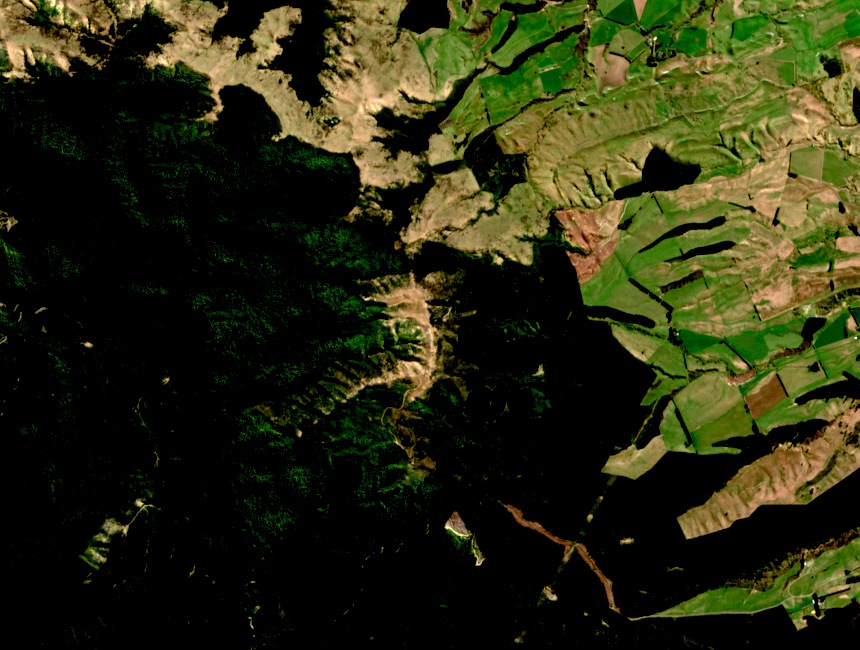
The conservation area's indigenous vegetation survives as a coherent block within a plantation-dominated landscape. The Department of Conservation manages roughly 1,700 hectares here; the persistence of native forest and tussock reflects both the terrain's resistance to conversion and sustained conservation effort.
A Place of Gathering: Kāinga Mahinga Kai
LINZ name records associate this area with kāinga mahinga kai — a place connected to gathering food and resources. The 2023 name mapping notes kāuru, tikumu, and taramea among the resources historically linked to the site, a cultural designation distinct from the alternate spelling Maungatere recorded by the district council.