
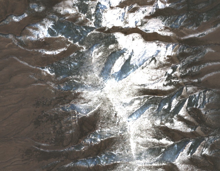
Wilderness Designation and Boundaries
Public Law 109-432, signed on December 20, 2006, created the Mount Grafton Wilderness covering 78,754 acres. The wilderness boundary spans portions of both White Pine and Lincoln Counties, though the summit itself lies north of the county line in White Pine County. The main summit should be kept distinct from the high ridge that crosses into Lincoln County to the south. BLM boundary documentation and a legal topographic map formalise these distinctions for the designated area.
Geology and Mineral Investigations
USGS and Bureau of Mines field teams conducted mineral assessments of the proposed wilderness in 1984 and 1985. Their work identified faulted sedimentary and metamorphosed rocks ranging in age from Cambrian through Devonian across the study area. Investigators also recorded mineral occurrences including low-grade zinc and tungsten deposits within the regional survey area.
Vegetation Zones
BLM environmental records describe a clear pattern of vegetation shifting with elevation on Mount Grafton's slopes. Upper elevations support quaking aspen, white fir, limber pine, and bristlecone pine, while lower terrain transitions into piñon-juniper woodland. The presence of bristlecone pine at the mountain's upper limits reflects the ecological character of the Great Basin ranges in which the Schell Creek Range sits.