
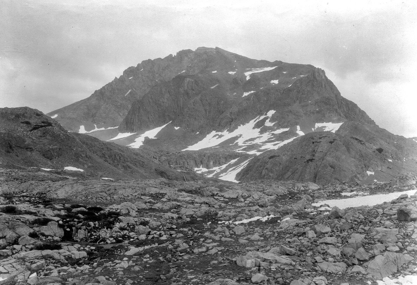
George Henry Goddard and the Survey Era
The California Geological Survey named the mountain for George Henry Goddard, a civil engineer who conducted reconnaissance of potential wagon routes across the Sierra Nevada between 1853 and 1855. His fieldwork led to a California map prepared for publication by Britton & Rey in 1857.
Early Attempts and the First Recorded Ascent
The Whitney Survey made unsuccessful attempts on Mount Goddard in 1864. According to a Sierra Club account, a document surviving at the summit gave September 23, 1879, as the date of ascent by Lil A. Winchell and Louis W. Davis, establishing that pair as the earliest climbers with a recorded date.
Geological Mapping
The USGS published a detailed geologic map of the Mount Goddard area in 1965, adding a different kind of field record to the same terrain covered by earlier mountaineering accounts.