
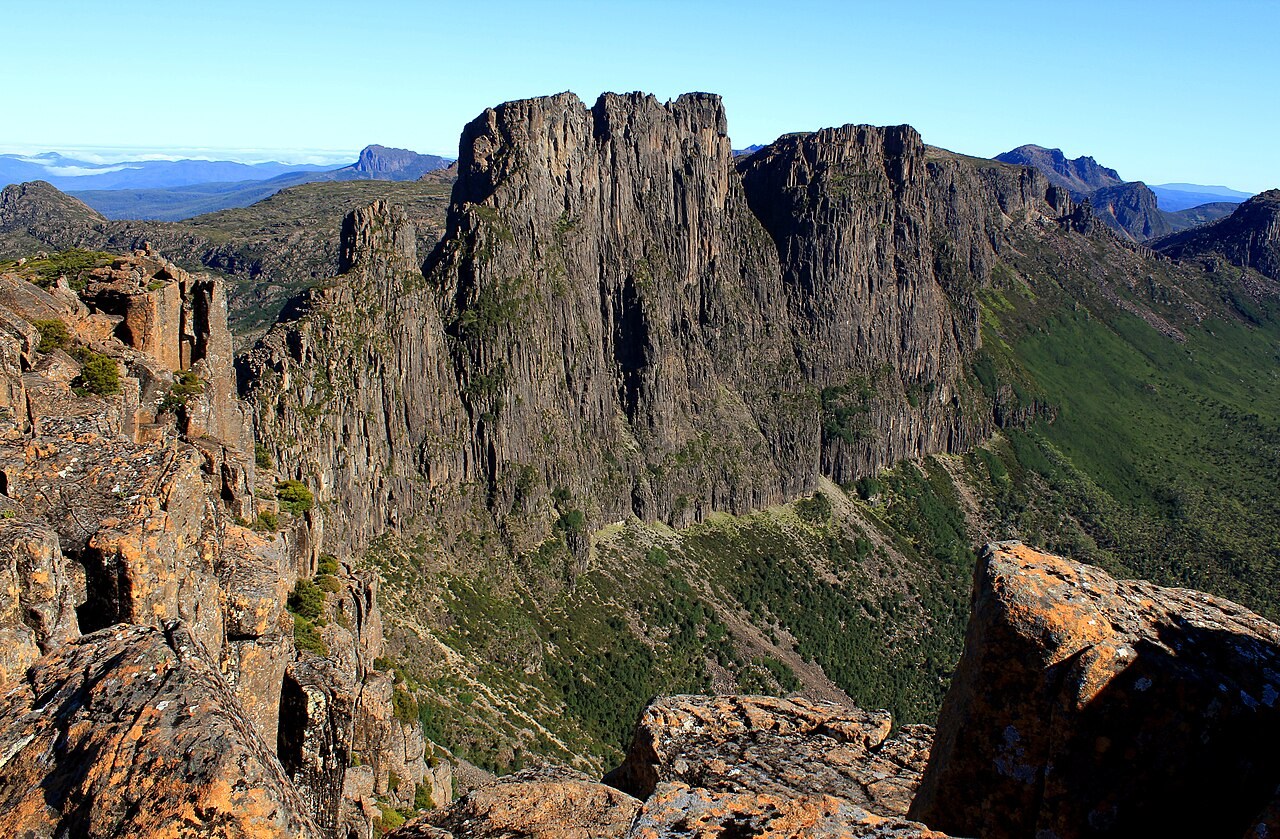
Survey Point and Dolerite Columns
Tasmania’s place-name register puts the Mount Geryon name point near the northern end of the mountain. The topographic map marks this point at 1,507 metres. The mountain continues south as a ridge of distinct rocky tops.
Glacial Cirque and the West Headwall
Mount Geryon and the Acropolis form the western rim of a glacial cirque about three kilometres wide at the head of the Narcissus Valley. The valley was cut back into Triassic sandstone beneath the dolerite columns. The photograph from the Acropolis looks across to Geryon’s east face.
Climbing History: South Peak and the Foresight
The Launceston Walking Club records an ascent of South Geryon in the early 1950s. In 1961, Bob Jones and Bernie Lyons of the Melbourne University Mountaineering Club climbed the east face of the Foresight, a distinct pinnacle on the same ridge.