
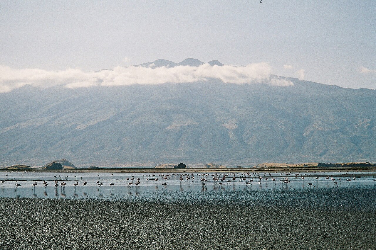
Shield Form and Pleistocene Construction
The Smithsonian Global Volcanism Program classifies Gelai as a Pleistocene shield volcano, a designation reflecting its low-gradient slopes built by successive fluid lava flows over an extended period. The gently convex summit profile contrasts with the steep scarps produced by later rift faulting along the eastern and southern flanks, distinguishing inherited volcanic topography from more recent structural modification.
July 2007 Earthquake Sequence and Surface Fissures
In July 2007 a sequence of earthquakes struck the Gelai area and produced surface fissures across the southern flank. Researchers from the Royal Museum for Central Africa and Tanzanian institutions conducted a field campaign to document and map these features. Their published interpretation attributed the deformation to magma intruding a fracture at roughly 7–10 km depth, forming a dike that displaced the overlying crust without producing a surface eruption.
ENVISAT Radar and Southern-Flank Deformation Mapping
To measure ground displacement, the research team compared field observations with ENVISAT satellite radar interferometry acquired before and after the 2007 seismic events. The resulting deformation map, published in Geophysical Journal International, resolved the spatial pattern of crustal uplift and subsidence across the southern flank and provided the geometric constraints used to model the subsurface dike geometry and depth.