
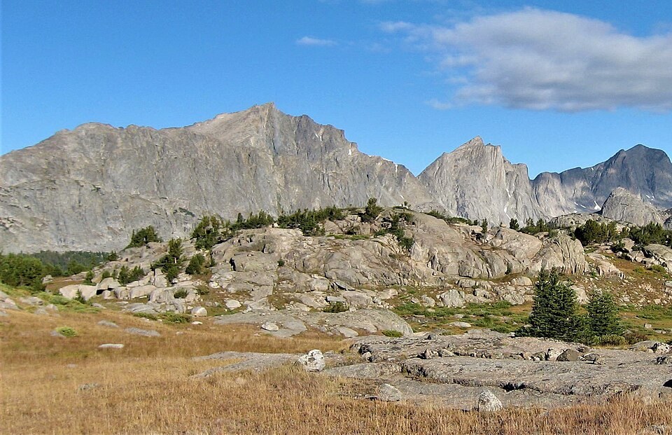
Position and Landform
USGS topographic mapping places Mount Geikie in the high country where glacially scoured cirques and ridgelines define the landscape on both sides of the Continental Divide. The peak's southeastern aspect presents a broad rocky face, while nearby walls — including a 2,000-foot east face belonging to a neighboring numbered peak — contributed to the exploratory character of the surrounding terrain documented in American Alpine Journal accounts of the area.
Namesake Uncertainty
A 1917 biography of geologist James Geikie, drawing on his papers and on information relayed by U.S. Forest Service officer J. G. Bruce, attributes the peak's name to James Geikie. Other sources name his elder brother Archibald Geikie instead. The two accounts have not been reconciled, and the etymology of the name remains unsettled.
Regional Geology
The Wind River Range's geological history, as described by USGS sources, involves Precambrian crystalline basement exposed through Laramide uplift and subsequently reworked by Pleistocene ice. Mount Geikie sits within this broader pattern, its high-country setting shaped more by the interplay of deep crustal rock and glacial erosion than by any single dateable formation identifiable at the summit itself.