
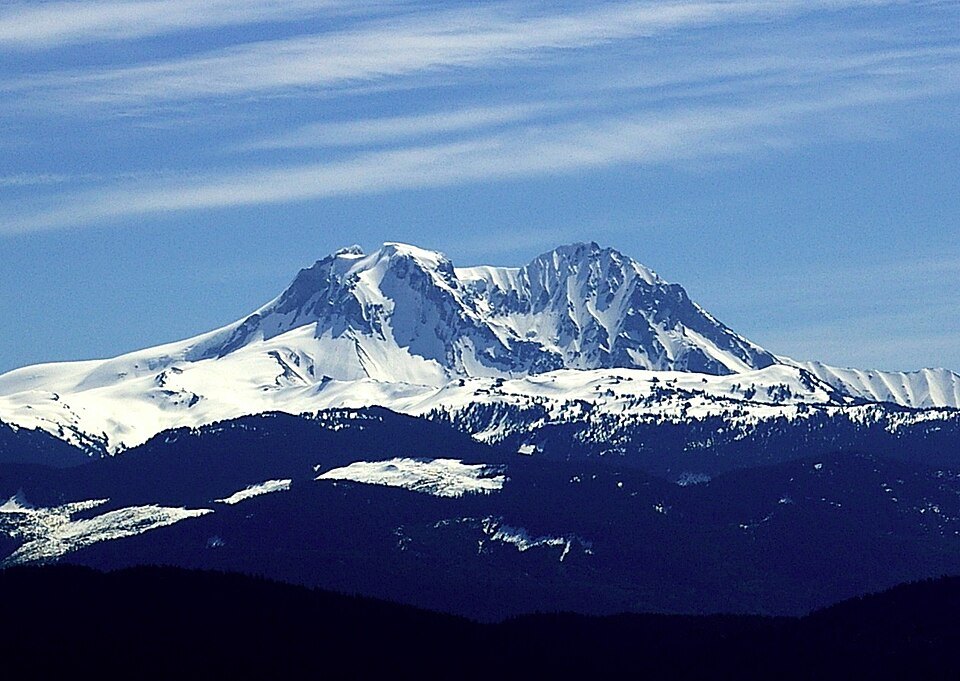
Summit and Sub-Peaks
Beyond its main summit, Mount Garibaldi has two named sub-peaks: Atwell Peak and Dalton Dome. Atwell Peak is a sharp, conical formation, while Dalton Dome presents a more rounded profile. Both were volcanically active at different periods throughout the mountain's eruptive history, each contributing to the layered, compound structure characteristic of a mature stratovolcano. The BC Geographical Names Office holds "Mount Garibaldi" as the official designation, applying the standard that a "Mount" prefix typically signals a feature named after a person.
Volcanic Origins and the Ice-Age Eruptions
The most dramatic chapter in Mount Garibaldi's formation began roughly 13,000 years ago, as the Fraser ice sheet reached its maximum extent. Volcanic ash and fragmented debris blanketed the glacier during the Atwell Peak stage, when a plug dome broke through a ridge that was still encased in ice. As the dome rose, massive sheets of broken lava collapsed as talus down its flanks, and several Peléan-style pyroclastic flows were generated — a style of eruption associated with the violent collapse of lava domes. This interplay between volcanic heat and glacial ice created the angular, unstable terrain that characterises much of the mountain's upper slopes today.
The Cheekye River and Its Watershed
Mount Garibaldi lies within the Squamish River watershed, and its steep western face is the source of the Cheekye River, which drains a small but sharply incised catchment of approximately 60 square kilometres. "Cheekye" is a Squamish name meaning "strong rushing water" — a description borne out by the river's history. The Cheekye flows west into the Cheakamus River, which in turn flows south and southwest into the Squamish River.
That steep catchment has not been merely a geographical feature. At least two debris flows in the order of 100,000 cubic metres each occurred at Mount Garibaldi in the 1930s and 1950s, both sweeping down the Cheekye River. The 1950s event, triggered by heavy rains, was large enough to reach the Cheakamus River, where it formed a temporary landslide dam standing approximately five metres high — the most recent debris flow from the Cheekye basin recorded as having reached the Cheakamus.