
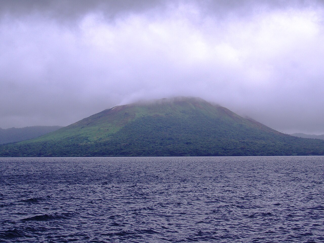
Caldera Geometry and the Formation of Lake Letas
The older collapse caldera of Gaua measures approximately six by nine kilometres, an elongated depression that forms the geological container within which Garet and several smaller cones have been built. The growth of these cones has been a constructive force within the caldera floor, and their cumulative mass has helped confine and shape Lake Letas into its characteristic crescent form. The lake occupies the portion of the caldera floor not occupied by volcanic constructs, and its outline reflects the positioning of Garet within the southwestern sector. The Smithsonian's bulletin describes Garet's summit area as containing three pit craters, structural features that mark the most recent zones of degassing and eruption within the cone.
The name Garet appears in Smithsonian documentation alongside the alternate spelling Garat, and the island itself carries the colonial designation Santa Maria alongside the indigenous name Gaua—a layering of names that reflects the island's history of external contact and local continuity. The caldera, the lake, and the cone together constitute one of the more structurally legible volcanic landscapes in the northern Vanuatu arc.
The 2009–10 Eruptive Episode
Scientists from the Vanuatu Meteorology and Geohazards Department observed an episode of renewed activity at Garet during 2009 and 2010. Field observations documented ash and gas plumes emerging from the cone during this period. A subsequent phase of vegetation recovery in the affected areas was also recorded, providing direct evidence of the episode's impact on the local landscape and offering a dated baseline for understanding the cone's recent eruptive behaviour. This episode, documented in the Smithsonian's bulletin for May 2011, represents one of the more fully characterised recent intervals of activity at Garet.
The 2009–10 Eruptive Episode
In September 2009 observers recorded renewed eruptive activity at Garet. Vanuatu’s monitoring staff reported ash and gas plumes during the episode. By late 2010 field observations noted vegetation beginning to return near the vent and on the western side of the island.