
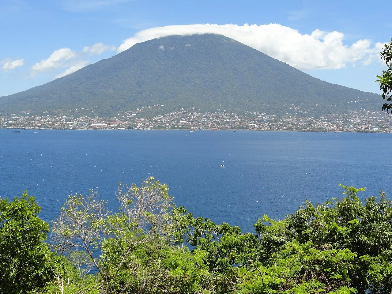
Structure and Alignment
Gamalama is composed of three summit cones that grow progressively younger toward the north, a spatial pattern consistent with the underlying rift system that also governs the alignment of the volcano's maars and subsidiary vents. A maar is a broad, shallow crater formed by an explosive interaction between rising magma and groundwater or surface water, leaving behind a depression rather than a cone. The south-flank Ngade maar is assigned by the Smithsonian Global Volcanism Program to approximately 14,500 to 13,000 calibrated years before present, placing its formation well within the period of regional human prehistory.
Tephrostratigraphic research by Faral and colleagues, published in the Journal of Volcanology and Geothermal Research in 2022, reconstructed thousands of years of ash-layer sequences across both Ternate and neighbouring Tidore. That work documents the cumulative volcanic record preserved in the landscape of both islands; the researchers worked across the broader tephrostratigraphic record rather than attributing every studied ash deposit to Gamalama alone.
The Spice Trade and the Historical Record
The Smithsonian Global Volcanism Program credits the spice trade with generating an unusually detailed written record of Gamalama's activity from the sixteenth century onward. Those with economic reasons to note disruptions on Ternate preserved an eruption chronology that predates systematic volcanological monitoring by several centuries. Few volcanoes outside of Europe and Japan possess a comparable documentary archive stretching so far back, and Gamalama's prominence in the spice trade is therefore directly responsible for the depth of its historical record.
The 1907 Eruption and Batu Angus
Among the episodes documented in more recent centuries, an eastern-flank lava flow in 1907 reached the coast of Ternate and solidified into what is now known as Batu Angus — a name that translates roughly as "burnt rock" in Indonesian. The flow extended land into the sea as cooling lava built new ground at the ocean's edge, reshaping the island's coastline.
In 1980 the Geological Agency's report records the formation of a new crater, Kawah Baru, located approximately 175 metres northeast of the main summit crater. Its emergence marked a structural change to the summit area, though the precise circumstances and sequence of that event are attributed specifically to the Agency's geophysical investigation rather than to independent sources. These named features — Batu Angus on the flank, Kawah Baru near the summit — give Gamalama's eruptive history a geographic legibility that is relatively rare among volcanoes of comparable size.