
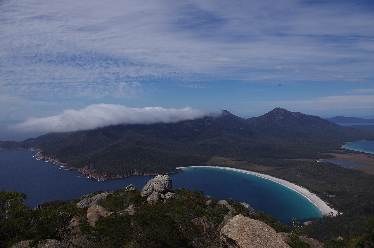
Devonian Granite and the Southern Mass
Mount Freycinet and Mount Graham together form the southern granite body of the peninsula, their rounded upper slopes exposing Devonian-age granite. At 620 m, Mount Freycinet stands as the culminating point of this paired formation.
The Isthmus, the Hazards, and Wineglass Bay
A low isthmus of sand and alluvium separates the southern mass from the Hazards, the distinct northern granite group at the other end of the peninsula. The Hazards rise at the northern approach to Wineglass Bay, and together the two formations enclose the arc of the bay between their seaward flanks.
Custodianship and Early Gazettal
Parks Tasmania records historical connections between the peninsula and the toorerno-maire-mener clan of the Oyster Bay nation. The area was gazetted as a national park in 1916, among the earlier formal park designations in Tasmania.