
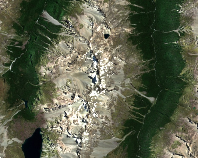
Position on Franklin Ridge
The DOC map of Nelson Lakes National Park and the NZAC guide both locate the summit on Franklin Ridge at the divide between the East and West branches of the Sabine River. At 2,340 m it is the highest point in the national park.
First Ascent, February 1947
Seven climbers from the Tararua Tramping Club reached the main summit on 18 February 1947, departing camp and working through rock bluffs, snow, and scree before arriving at 2 pm. The party — Bill Bridge, Val, John, Alec, Graham, Brian, and Tony — marked the top with two signal rockets. The NZAC records this as the first ascent.
The 1884 James Park Account
James Park published an ascent under the name Mount Franklin in the 1884 volume of the Transactions of the New Zealand Institute, issued in 1885, describing a route from the Waiau. The 1947 party compared Park's described approach with the terrain and maps and suggested he may instead have climbed nearby Mount Mahanga.