
Watershed and Neighbouring Passes
Clarkes Pass, a 1,593 m saddle near the mountain, connects Griffiths Stream, a Wilberforce tributary on the Canterbury side, with the western Kokatahi River drainage. In December 1934 P. Phipps and B. Cropp made the pass’s first documented west-to-east crossing. The 1968 New Zealand Gazette used the crest near Clarkes Pass to mark a segment of the Upper Rakaia pest-destruction district boundary.
On the western side, the Kokatahi River and its Crawford tributary meet in a forested valley near Crawford Junction. In its 1907 report the New Zealand Geological Survey described a mid-January traverse of the Kokatahi and Crawford, part of the mapping of this flank. Land Information New Zealand records the summit’s name on topographic sheet J33 (1991, reprinted 1994).
Geology of the High Terrain
GNS Science’s 2020 geological map places the summit, Clarkes Pass and a sampled forest spur in a regional unit of the Rakaia Terrane, mapped at 1:250,000 scale. The unit is semischist, rock that is slightly cleaved and weakly metamorphosed.
GNS Science describes this Middle-to-Late Triassic unit as chiefly greywacke sandstone and argillitic mudstone, with smaller amounts of metamorphosed volcanic tuff and chert. These sediments and volcanic deposits were buried, mildly altered and eventually exposed in the uplifted Southern Alps.
Forest Spur and Montane Vegetation
An Allan Herbarium record by Peter J. Bellingham describes a small creeping herb, Nertera dichondrifolia, on a spur near Crawford Junction. The record places the plant at 780 m on a well-drained forest floor among kāmahi, southern rātā and broadleaf.
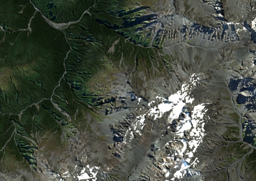
The Sentinel-2B image shows how far forest extends up the western slopes. Beyond it, the upper ridgeline is bare and patches of snow remain on the high ground.
Climbing History
The New Zealand Alpine Club credits G. C. T. Burns, R. J. Allen, Neville Barker and Charles Gordon Buchanan with the first recorded climb of the southwest ridge in December 1934. Their ascent and the crossing by Phipps and Cropp provide two accounts from the area in the same month.
The club records a second line on the northeast ridge above Griffiths Glacier. These two ridges trace the divide from the saddle toward the head of the glacier, with the Kokatahi and Wilberforce basins on opposite sides.