
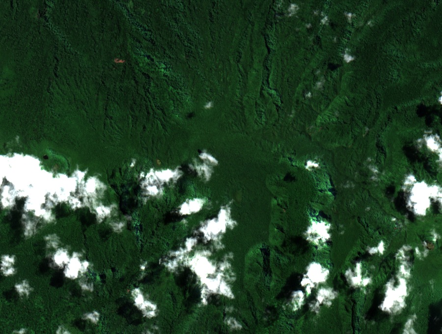
Finding Fito on Upolu
Samoa’s park management plan lists Mauga Fito at 1,120 m and neighbouring Vaivai at 1,158 m. The plan uses the locally accepted name for the volcano inside the park. The 2000 Samoa-U2 map applied the Mt. Fito label to a volcano outside the park.
Forest on the crater rim
On November 10, 2009, David Butler’s bird survey stopped above the Fito crater. The field notes record tree ferns and small trees on its rim and floor. From the same lookout the team also examined an even-aged stand of forest to the east.
An upland protected with its coast
O Le Pupū-Pu’e became Samoa’s first national park in 1978. A 2008 project opened a trail through Fito to reach permanent vegetation plots for the study of native forest. On February 2, 2016, the whole park was designated a Ramsar Wetland of International Importance.