
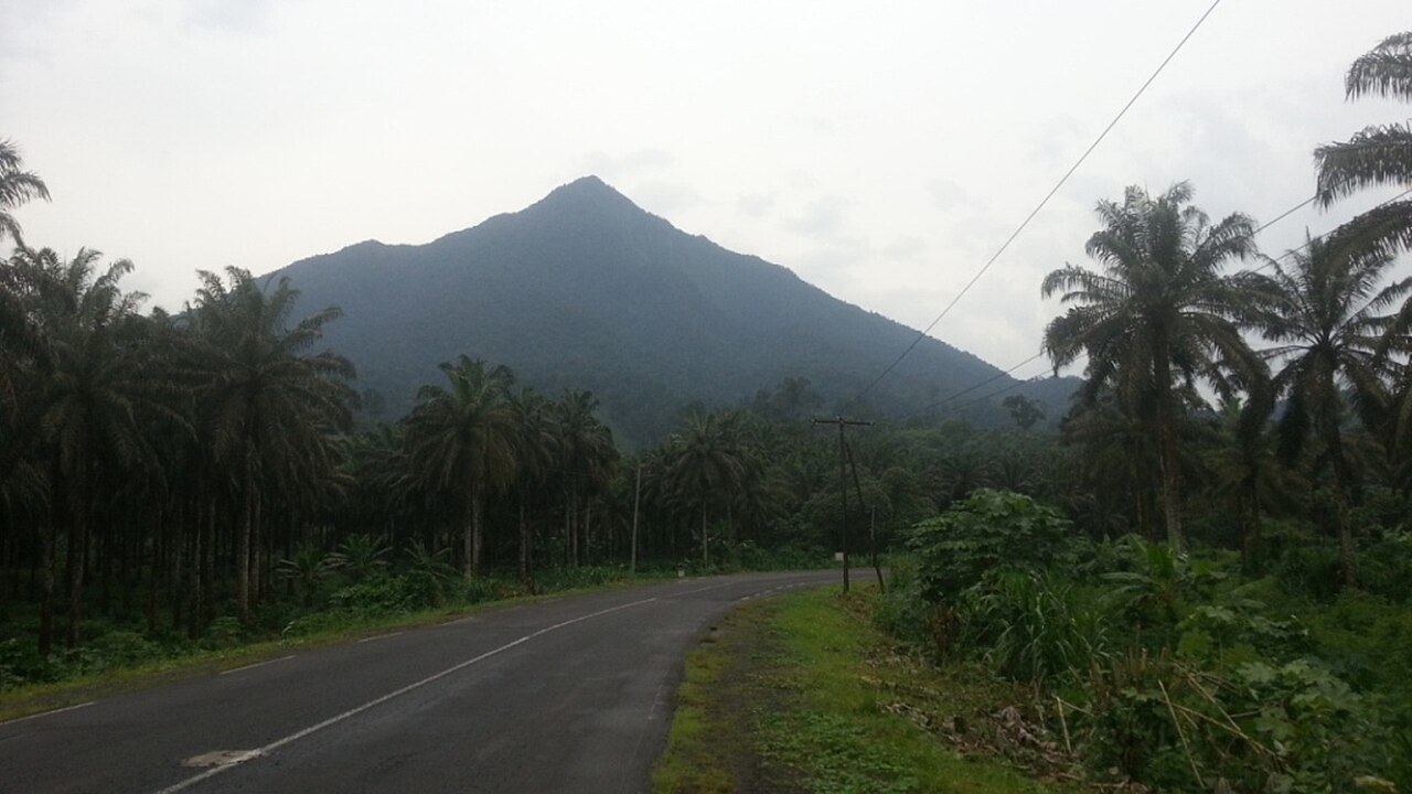
Dissected Flanks and Forest Cover
Etindé's southwest-facing slopes are deeply dissected by erosion, producing the rugged relief visible from the coastal lowlands. Dense montane forest clothes the terrain from the lower slopes to the summit zone. The volcano sits structurally within the Cameroon Volcanic Line, the northwest-trending chain of alkaline centres described in petrogenetic studies published in Geoscience Frontiers.
Nephelinite Lavas and Crystal Textures
The 1995 Nkoumbou et al. petrological study documented Etindé's lavas as unusually enriched in incompatible elements relative to other Cameroon Volcanic Line centres. Many flows carry conspicuous zoned clinopyroxene crystals measuring 3 to 7 mm across, a texture that records variable magma chemistry during crystallisation at depth.
Argon–Argon Ages and Regional Chronology
A 2025 argon–argon geochronology study published through NERC Open Research Archive dated two Etindé mafic nephelinite samples to approximately 572,000 and 515,000 years. Nearby Mount Cameroon basanite in the same study yielded a date of approximately 442,000 years, placing those Etindé samples as older within that comparative dataset.