
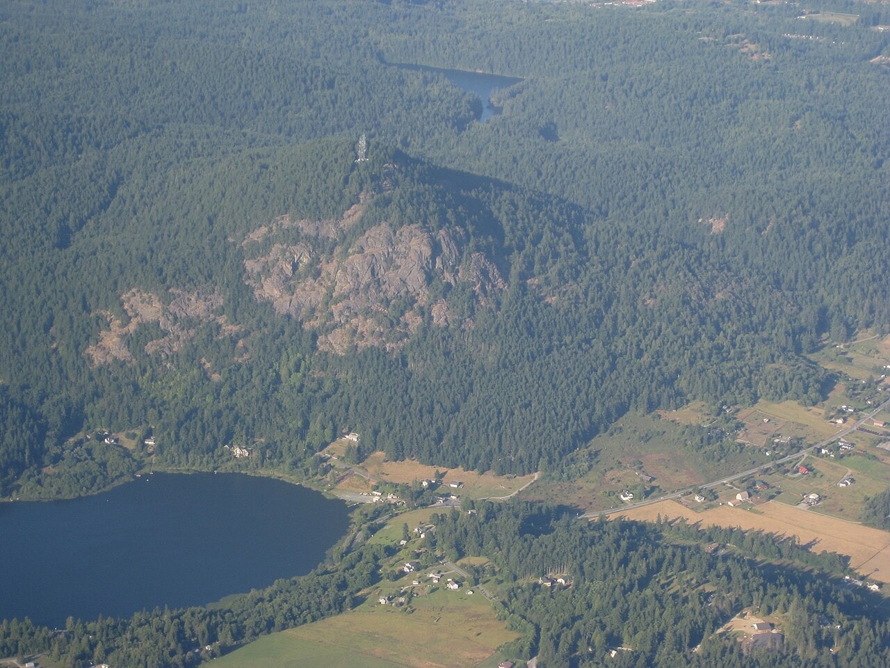
Rock and Ice
The Washington Geological Survey describes Mount Erie as a roche moutonnée, formed when a glacier overrode resistant bedrock and left an asymmetric profile: a gently rounded slope on the side from which the ice advanced and steep cliffs on the lee side. The Anacortes Museum identifies the dominant rock as diorite, an igneous type approximately 167 million years old.
The 1841 Wilkes Naming
U.S. Navy commander Charles Wilkes assigned the name during the United States Exploring Expedition of 1841. He named the peak for the Battle of Lake Erie, fought on September 10, 1813, during the War of 1812, in which Commodore Oliver Hazard Perry commanded the American naval force to victory.
City Forest and Cliffs
The City of Anacortes preserves the summit area as a park within its former watershed lands. The steep cliffs on the south side of the mountain, a product of glacial erosion, became a destination for rock climbers, as noted by the Anacortes Museum.