
Position on the Divide
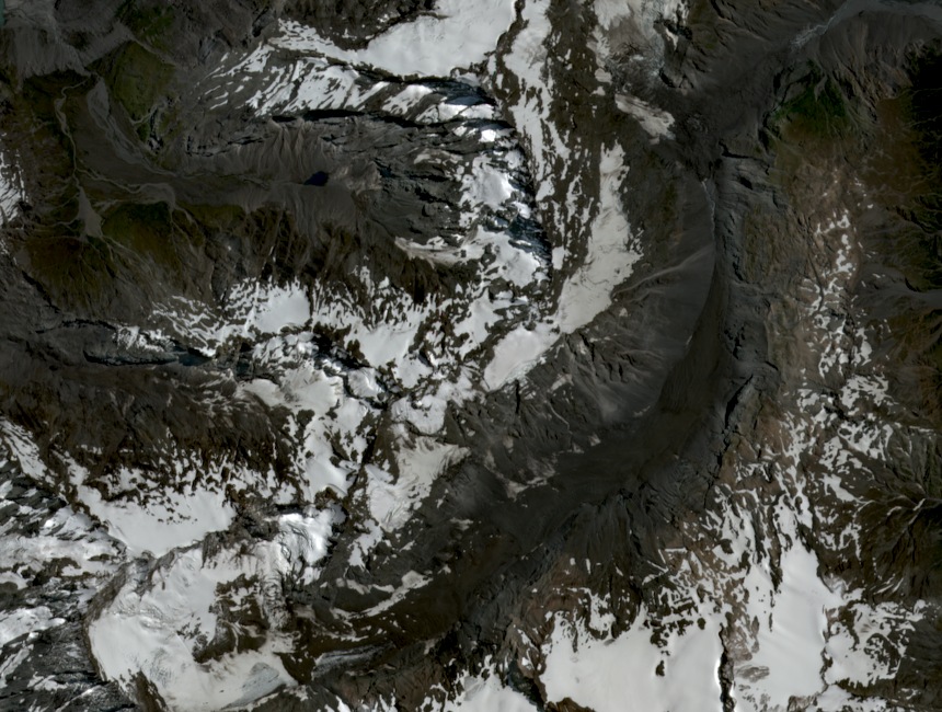
Mount Eric sits at 2,466 metres on the Main Divide, a watershed recorded by LINZ survey. Mueller Glacier lies on the eastern side; the Karangarua River drains the western slopes toward the Tasman Sea coast. The 2,466-metre figure is the established LINZ elevation for this summit.
Twain Col and the Ridge
Twain Col, at 2,375 metres, marks a named low point on the ridge close to the summit. It lies roughly 91 metres below the peak, providing a distinct reference in this section of the divide. The col and the summit are closely associated in any account of the local ridge.
The Northeast Ridge
The New Zealand Alpine Club's climbing record notes the first ascent of the northeast ridge was made from the east. No party names or date appear in that account. The eastern approach aligns with the glacial terrain on Mueller Glacier's side of the divide, connecting the mountain's eastern setting to its summit.