
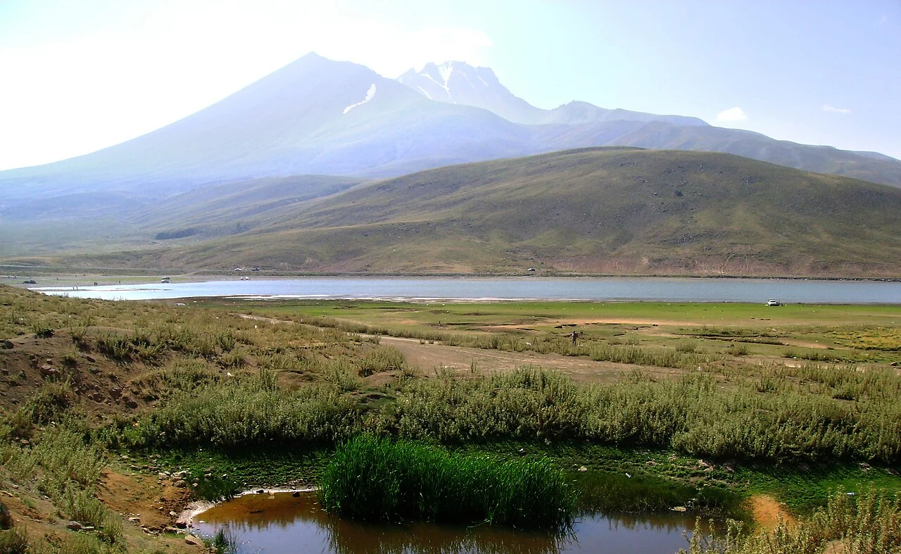
Volcanic Architecture
The Smithsonian Global Volcanism Program (identifier 213010) catalogs Erciyes as a stratovolcano within a radial field of subsidiary vents. The modern edifice grew after the collapse of the earlier Koç Dağı caldera, a structure distinct from the named main summit and from Küçük Erciyes, the subsidiary feature to the west. A subsequent edifice collapse deposited debris extending eastward from the massif. The MTA volcanic stratigraphy traces the growth sequence from the Koç Dağı precursor through the eruptive phases that produced the present cone.
Eruptive History and Regional Ash
The Smithsonian catalog places the last confirmed eruption at approximately 6880 BCE, based on a calibrated radiocarbon estimate with a stated uncertainty of 40 years. Develle et al. identified Early Holocene ash in Lebanon and attributed it to the Erciyes source, linking the volcano to sediments in Lebanon.
Glacier History
Sarıkaya et al. applied cosmogenic dating to moraine deposits on the flanks of Erciyes and identified four distinct glacier advance phases spanning approximately 22,000 years. At maximum extent, ice reached roughly 6 km in length and descended to an elevation of approximately 2150 m. Those successive advances modified the volcanic landform, cutting and depositing material across slopes built by the eruption sequence recorded in the MTA stratigraphy.