
John Davies Enys and the Castle Hill Run
The LINZ gazetteer records the mountain's name for John Davies Enys, who acquired the Castle Hill run from the Porter brothers in 1864. Te Ara documents him as a naturalist and collector whose specimens and observations reached scientific institutions beyond New Zealand, distinguishing his legacy from that of a purely pastoral figure.
Ridge Topography from Enys to Cloudsley
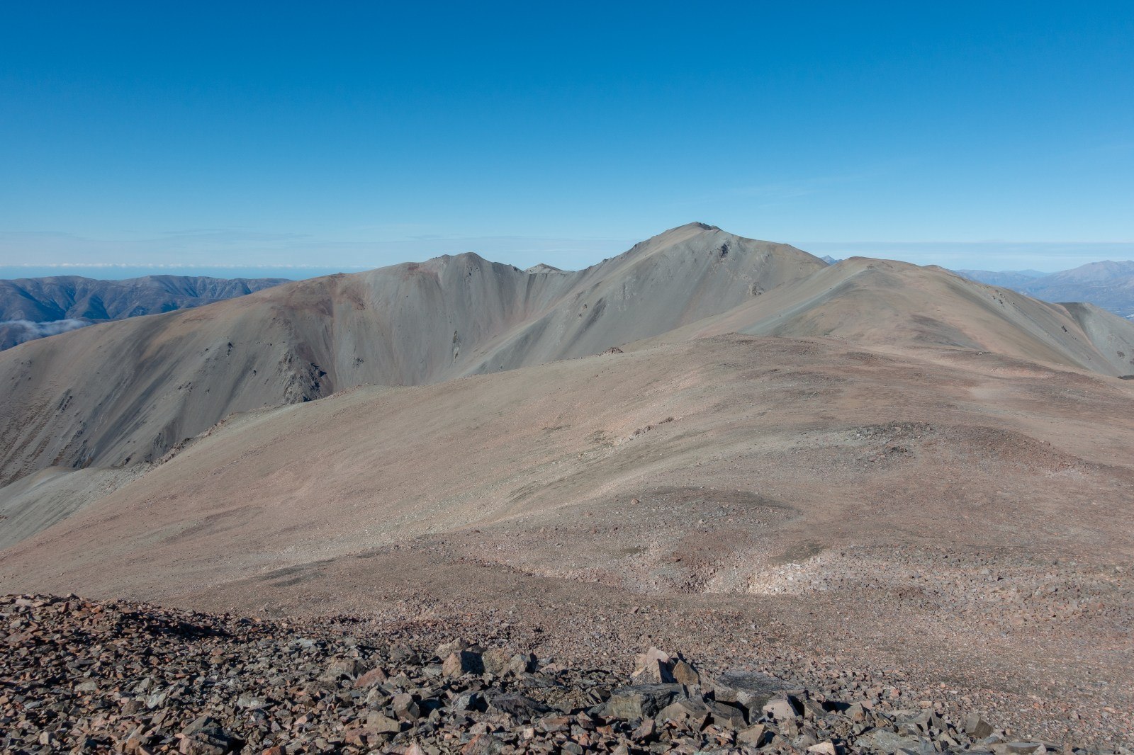
The upper ridgeline near Enys is broad, a characteristic the New Zealand Alpine Club distinguishes from conditions farther north toward Mount Cheeseman, where rock outcrops interrupt the crest. The traverse between Enys and the 2,107-metre Cloudsley represents the highest and most continuous elevated ground along the range's spine.
Position Within the Craigieburn Range
The Department of Conservation uses 2,194 metres as the reference elevation for Enys, establishing it as the range's apex. Named peaks extending north — Cloudsley and Cheeseman among them — chart both the elevation profile and the naming history of this interior Canterbury range.