
Samuel Emmons and the Survey of the 40th Parallel
The U.S. Geographic Names Information System records the mountain as named for Samuel Emmons, who worked as a geologist on the federal survey of the 40th parallel led by Clarence King. That survey ran from 1867 to 1878 and was charged with documenting the landforms, geology, and resources across a broad east-west band of the American West. King went on to become the first director of the United States Geological Survey. Mount Emmons should not be confused with Colorado mountains bearing the same name.
The High Uinta Crest
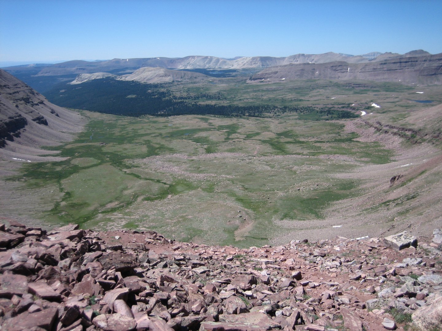
The Utah Geological Survey and the USGS regional account of the Uinta Mountains describe a high crestline shaped by glaciation, with steep ridges and ice-carved valleys characteristic of the range's upper elevations. Mount Emmons sits within this terrain, where the evidence of repeated glacial action appears in the valley forms and exposed rock surfaces surrounding the summit.
A Name in Federal Geography
The naming of Mount Emmons belongs to the period when the federal surveys were systematically naming and mapping the high country of the interior West, often honoring the scientists who carried out that work. The 40th parallel survey's geographic legacy extended well beyond its published reports, and the appearance of Emmons's name on a Uinta summit reflects the lasting influence that King's survey teams had on the region's official nomenclature. The GNIS entry preserves that connection.