
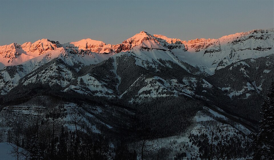
Topography and Geology
The USGS Telluride quadrangle, first published at 1:24,000 scale in 1955, positions Mount Emma within a compact ridge system where elevation contours compress sharply toward the summit. South of the peak, the terrain opens toward the Telluride valley floor, producing the pronounced mountain front visible from town.
The Burbank and Luedke geologic quadrangle maps the underlying rocks and surficial deposits across the same area, documenting volcanic and intrusive lithology characteristic of the broader San Juan Mountains — a range shaped largely by Oligocene volcanic episodes that left behind the layered, erosion-resistant formations defining ridgelines throughout the region.
Mining District Context
USGS professional paper records document three significant operations in the basins surrounding Mount Emma: the Tomboy, the Smuggler–Union, and the Liberty Bell mines, all active in the late nineteenth century. These workings are identifiable on the 1955 Telluride topographic sheet, which marks mine symbols in the drainages below the summit ridge.
The proximity of these named operations to the summit establishes Mount Emma as a landmark within a dense industrial landscape rather than an isolated alpine peak. The historical record does not attribute the mountain's name to any single mine or operator; the topographic and geological sources treat the name as established usage without tracing its origin.
Photographic Record
In 2016, documentary photographer Carol M. Highsmith photographed the Telluride mountain front from the former mining town. The Library of Congress title describes the image as a sunset view in Telluride, and the Wikimedia Commons file specifically identifies Mount Emma near the middle of the ridge's skyline.