
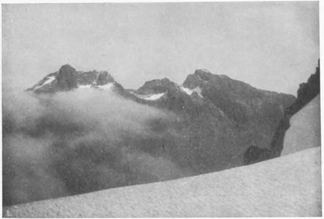
Duke of the Abruzzi's 1906 Umberto Ascent
The first recorded ascent of Umberto was made between June and July 1906 by the Duke of the Abruzzi's expedition, as documented in the Royal Geographical Society's 1907 expedition report. The Abruzzi party conducted systematic surveys across several Rwenzori massifs during the same season, establishing the principal elevations and naming conventions that the Uganda Wildlife Authority inventory continues to recognise.
Kraepelin and the 1932 Belgian Expedition
The first recorded ascent of Kraepelin, the massif's lower summit at 4,791 m, was made by the Belgian expedition of 1932 led by Xavier de Grunne. The Alpine Journal records this ascent as the definitive early account of Kraepelin, filling a gap left by the Abruzzi surveys and extending the documented climbing history of the Emin group into the interwar period.
Glaciological Record and the Umberto Glacier
The U.S. Geological Survey's historic Africa glacier atlas documents the Umberto Glacier as part of its inventory of Rwenzori ice fields, drawing on photographic surveys and field comparisons. The Journal of Glaciology's photographic comparison study used imagery from the adjacent Gessi massif, including photographs from the 1906 Abruzzi expedition and 1959 field surveys, to track changes across the northern Rwenzori over that period.