
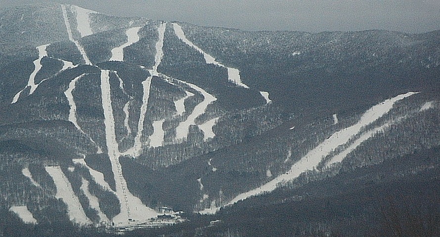
Bedrock and Ice
The surrounding region's bedrock includes schist and phyllite, sediments originally deposited along the margins of the ancient Iapetus Ocean and subsequently metamorphosed during the Taconic and Acadian orogenic events. At the regional quadrangle scale mapped by the Vermont Geological Survey, glacial till left by the Laurentide ice sheet remains a defining feature of the surficial geology across the Lincoln and Mount Ellen quadrangles.
Glen Ellen Ski Area
Ski development on the lower eastern slopes began when Glen Ellen Ski Area opened in December 1963, with a lift reaching the summit added in 1964. The area's name was inspired by a nearby Long Trail lodge; according to the Elliott family, the lodge's present building had replaced an earlier structure in 1933, predating the ski area by three decades.
Sugarbush Merger
Sugarbush Resort acquired Glen Ellen in 1979 and renamed it Sugarbush North, integrating it into a larger ski complex on the mountain.