
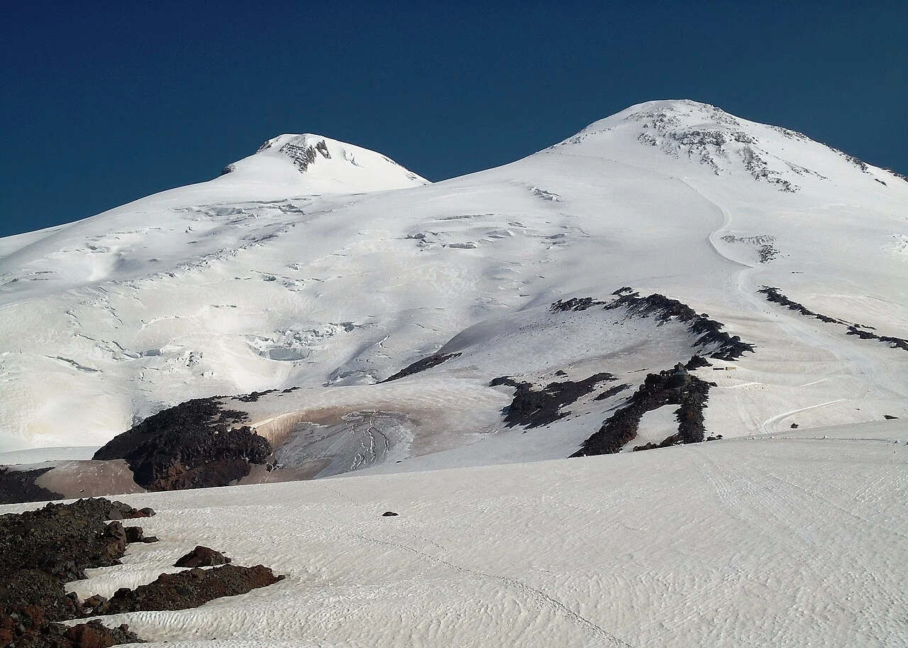
Volcanic Structure
The Smithsonian Global Volcanism Program classifies Elbrus as a glaciated stratovolcano. Its two summits — western at 5,642 m, eastern at 5,621 m — sit roughly one kilometre apart across a low saddle, and the eastern summit preserves a crater estimated at 250 metres in diameter. Tephrochronology yields an estimated eruptive event around 50 CE, plus or minus fifty years.
First Ascents
The 1829 expedition organised by Russian General Georgi Emmanuel sent a group including scientists toward the eastern summit; Killar Khashirov was the sole member to reach it, according to Russian archival study. The higher western summit was reached in 1874 by F. Crauford Grove, Frederick Gardiner, Horace Walker, and Swiss guide Peter Knubel; Grove recorded the climb firsthand in his 1875 book The Frosty Caucasus.
Ice Core Records
In 2009, researchers drilled a 182-metre core from the western plateau at 5,115 m, dating its layers using the 1912 Katmai sulfate signal and the 1963 atmospheric nuclear-testing tritium spike. A separate 2020 programme, reported in Climate of the Past, extracted a 96-metre core from the eastern summit crater at approximately 5,600 m.