
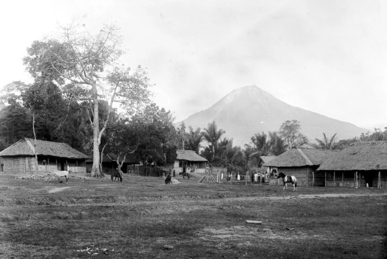
Cone and Crater above Boawae
Ebulobo is a stratovolcano built by alternating layers of pyroclastic material and lava flows, producing a notably symmetrical cone above Boawae. The 1986 Geological Agency survey documented a summit crater approximately 250 metres in diameter containing a blocky lava dome, a mass of viscous lava that extruded and solidified without large explosive dispersal.
Geological Agency Surveys
Indonesia's Geological Agency conducted a hazard mapping survey in the late 1960s and returned in 1986 for crater temperature and elevation measurements, recording 2,123.8 m—rounded to 2,124 m—and documenting the summit dome's thermal state. A separate magnetic survey of the dome constitutes a third independent agency investigation across different decades.
Eruptive Record from 1830
The Smithsonian Global Volcanism Program's historical record for Ebulobo opens in 1830. A 1969 episode produced ash and steam emission. These events pertain specifically to the peak assigned Smithsonian volcano number 264100 and should not be conflated with activity at other stratovolcanoes along Flores.