
The Mangahao and Ruamahanga valleys
Looking south from Dundas, the Mangahao valley lies to the west and the Ruamahanga to the east. Adkin identified the two valleys in his panorama from the summit. In his later geological study of the Tararua Range, he traced several rivers back to the slopes around Arête Peak, just south of Dundas. The deep valleys show how streams cut into the rising range.
A summit used for surveying
The mountain takes its name from Alexander Dundas, who helped survey the Tararua Range and establish a network of reference points across Wairarapa. Surveyors measured angles between visible markers on the ridges. Those measurements let them calculate distances and place landmarks on maps. The summit remains a registered survey point.
A night beside the wooden marker
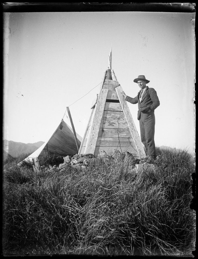
Adkin and Lancaster crossed from Levin to Masterton in February 1909. After climbing through dense scrub to the summit, they pitched their shelter beside the survey marker. The newspaper reported that after dark they could see streetlights in the towns on the western plain. Lancaster’s photograph preserves the shelter, the weathered marker and Adkin standing beside it.