
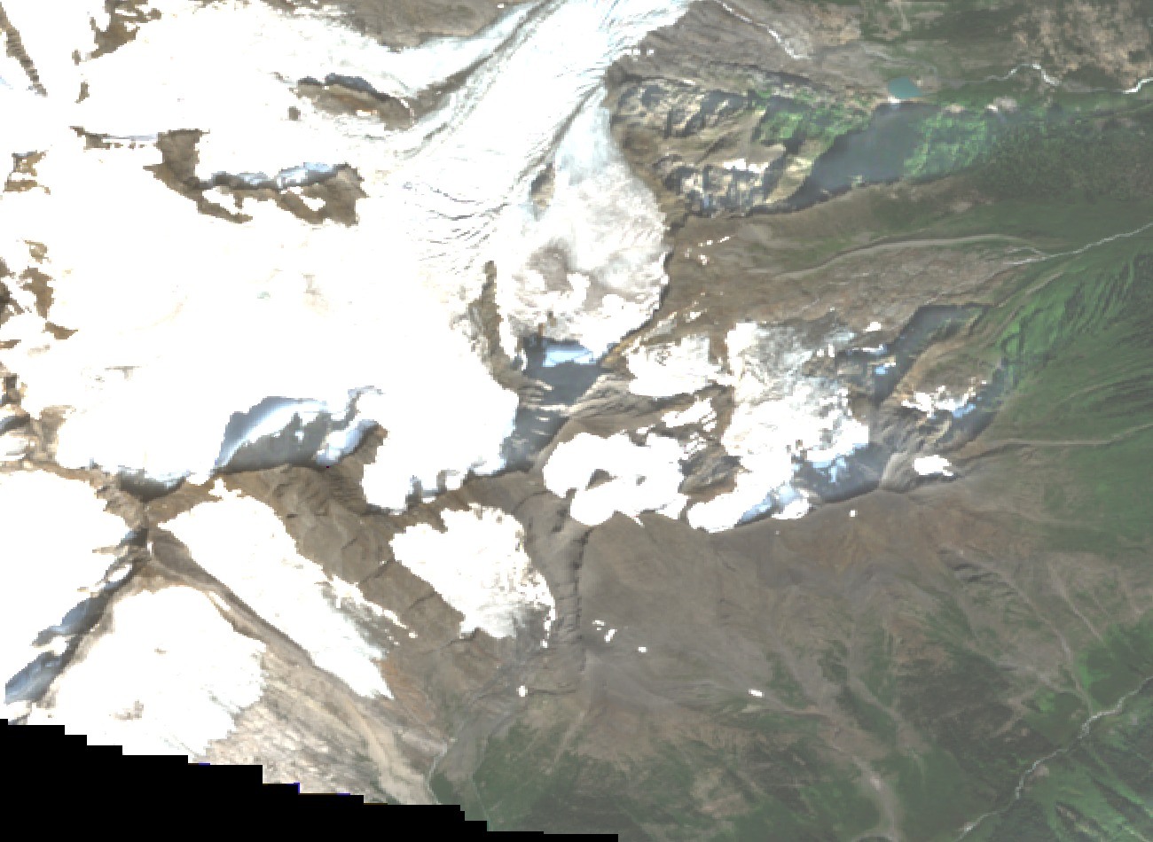
Summit and Setting
The summit stands at approximately 3,200 metres. Both the early survey and the account of the first ascent document Duncan Glacier on the mountain’s flanks. The peak anchors the upper basin of the Duncan River within the deeply glaciated Battle Range.
First Recorded Ascent
In August 1913, botanist and alpinist E. W. D. Holway made the first documented ascent with Swiss guides Ernest Feuz and Christian Häsler. The party crossed the crevassed surface of Duncan Glacier, ascended the east-face rock, and followed the south arête to the summit. After completing the climb, the same party continued to the neighboring Beaver Mountain on the same day.
Survey and Naming
A. O. Wheeler's 1905 survey map fixed Mount Duncan's position in the Battle Range at the head of the Duncan River, one year after the name's official adoption. British Columbia geographical names associate the peak with the surveying and mountaineering parties that charted southeastern British Columbia in the late nineteenth and early twentieth centuries.