
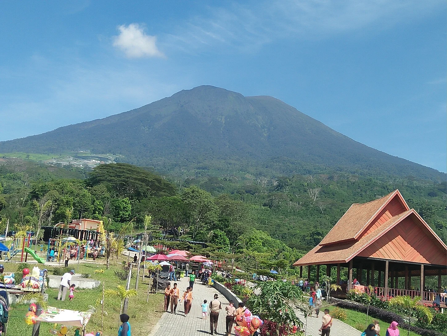
Two Summits, One Massif
The Smithsonian Global Volcanism Program identifies the Dempo massif as comprising the older Gunung Dempo caldera rim and the younger Gunung Marapi cone constructed inside it, the two representing successive episodes of volcanic activity within a shared system; the GVP records 3,142 m for the Marapi cone while the Pagar Alam BPBD reference elevation for the complex is 3,173 m.
Crater Lake Eruptions
The active crater on Gunung Marapi holds a lake approximately 400 m wide; on 25 September 2006 a steam-driven eruption ejected lake water and mud, and on 31 May 2022 the Indonesian Geological Agency documented a separate phreatic explosion that produced ashfall, each event driven by interaction between superheated hydrothermal fluids and the lake reservoir.
2025 Ash Column
On 7 August 2025 Indonesian agency reporting recorded an eruption producing an ash column reaching 1,200 m above the summit, with the 3,173 m reference elevation used to calculate total plume height; eruptive activity across the complex has migrated west-northwest over time, consistent with the progressive internal construction of the Marapi cone.