
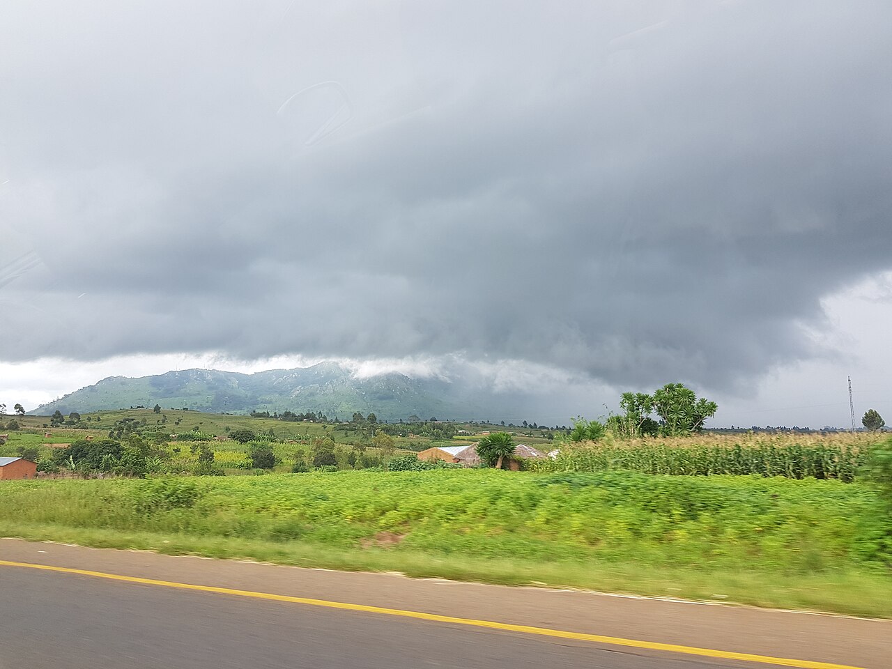
Summit Profile and Topography
The mountain presents a broad upper ridge with rocky open areas giving way to steeper flanks on its lower slopes. Field inventory data recorded by botanists working the Dedza Mountain area confirms the summit elevation at 2,198 m, distinguishing it clearly from the plateau on which the town sits. The elevated terrain intercepts moisture from southeasterly airflows, sustaining cooler and wetter conditions than the surrounding lowlands.
Vegetation Zones: Evergreen Forest and Pine Plantation
Flora of Malawi field inventories document pockets of submontane evergreen and riverine forest concentrated near the summit zone, alongside rocky open habitats at higher elevations. Lower and mid-slope areas include introduced pine plantations. The Malawi Department of Forestry lists the forest reserve at approximately 3,260 hectares and a government plantation area at approximately 2,082 hectares as separate administrative categories.
Forest Reserve Gazettement in 1926
The Malawi Department of Forestry records the gazettement of Dedza Mountain Forest Reserve in 1926, placing formal legal protection over the mountain's forests under colonial-era land legislation. The reserve designation and the government plantation figure represent distinct administrative classifications in the departmental listing, each with its own recorded area, and should not be combined into a single coverage total.