
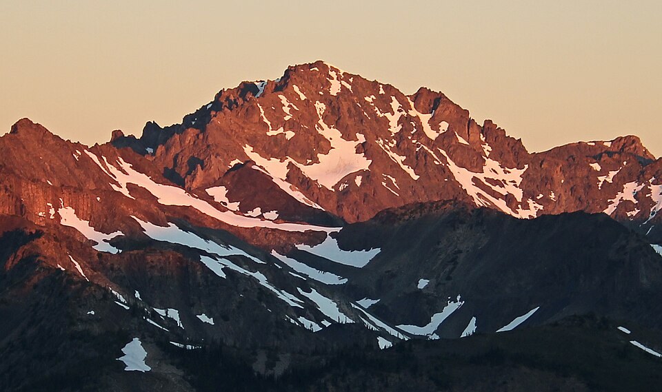
Landform and Neighboring Features
The USGS topographic map places Mount Deception between Royal Basin on its northern side and Deception Basin to the south and east. A series of sharp rock summits known as The Needles extends north of the peak, forming a jagged ridgeline that distinguishes this corner of the eastern Olympics from the more rounded terrain found elsewhere in the range.
Deception Glacier and the NPS Terminus Project
The National Park Service's Terminus project commissioned artists to respond to Olympic glaciers and the changes underway in alpine habitat. Heather Wallis Murphy chose Deception Glacier as her subject and incorporated the ice worm into her portrayal; the accompanying NPS text links the glacier to surrounding waters and the broader stakes of shifting conditions in the high Olympics. The artwork reflects interpretation rather than direct glaciological measurement.
Range-Wide Glacial Context
A NOAA-hosted study documents change across Olympic glaciers over approximately a century, providing a range-wide frame within which Deception Glacier sits. That record establishes the pattern of transformation affecting high-elevation ice throughout the Olympics, though specific figures from that study apply to the range broadly and not to Deception Glacier in isolation.