
Moraines and the Record Below Lynch Glacier
Below Lynch Glacier, Pea Soup Lake sits at the base of a basin where the North Cascade Glacier Climate Project identified debris ridges recording earlier ice advance. One moraine runs against Dip Top Peak on the north side, marking a boundary between this basin's glacial history and that of neighboring Mount Hinman. The lake, glacier, moraine ridge, and adjacent peaks each carry a separate name and position within the same drainage.
The Daniel–Hinman Glacier Complex
The North Cascade Glacier Climate Project began monitoring glaciers in the Daniel–Hinman area in 1984, when nine glaciers were identified across the wider complex. By the close of the 2023 melt season, three glaciers remained within the same area. The team reported that Ice Worm Glacier had stopped moving by 2023.
Divide Position and Summit Topography
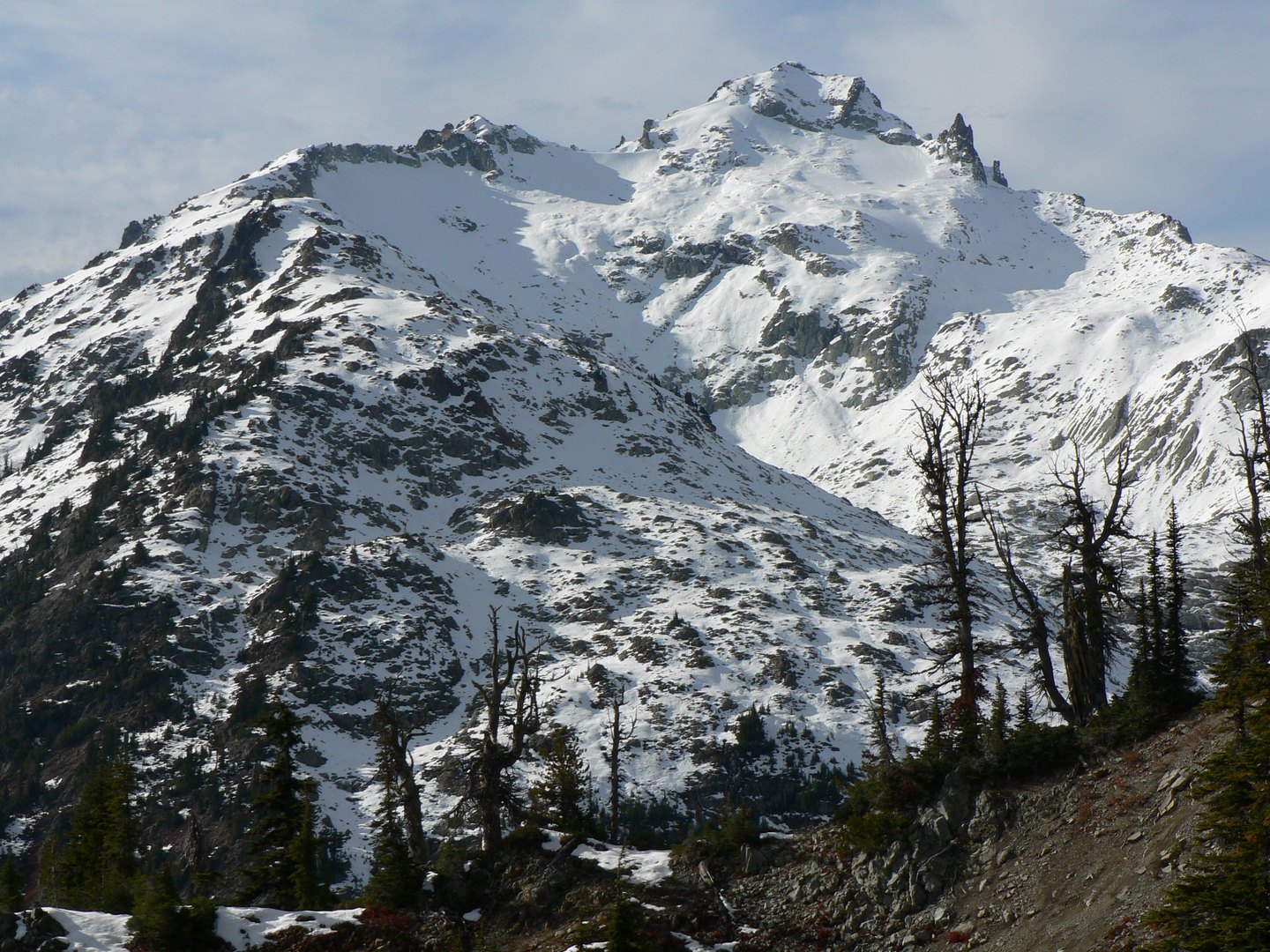
The Cascade Divide runs through the mountain, placing its ridgeline at a drainage boundary where precipitation splits between eastward and westward catchments. Mount Daniel's multiple distinct summit points make its high ground a compound ridge, a form that is visible from the surrounding basins and from the approaches used by glacier researchers.