
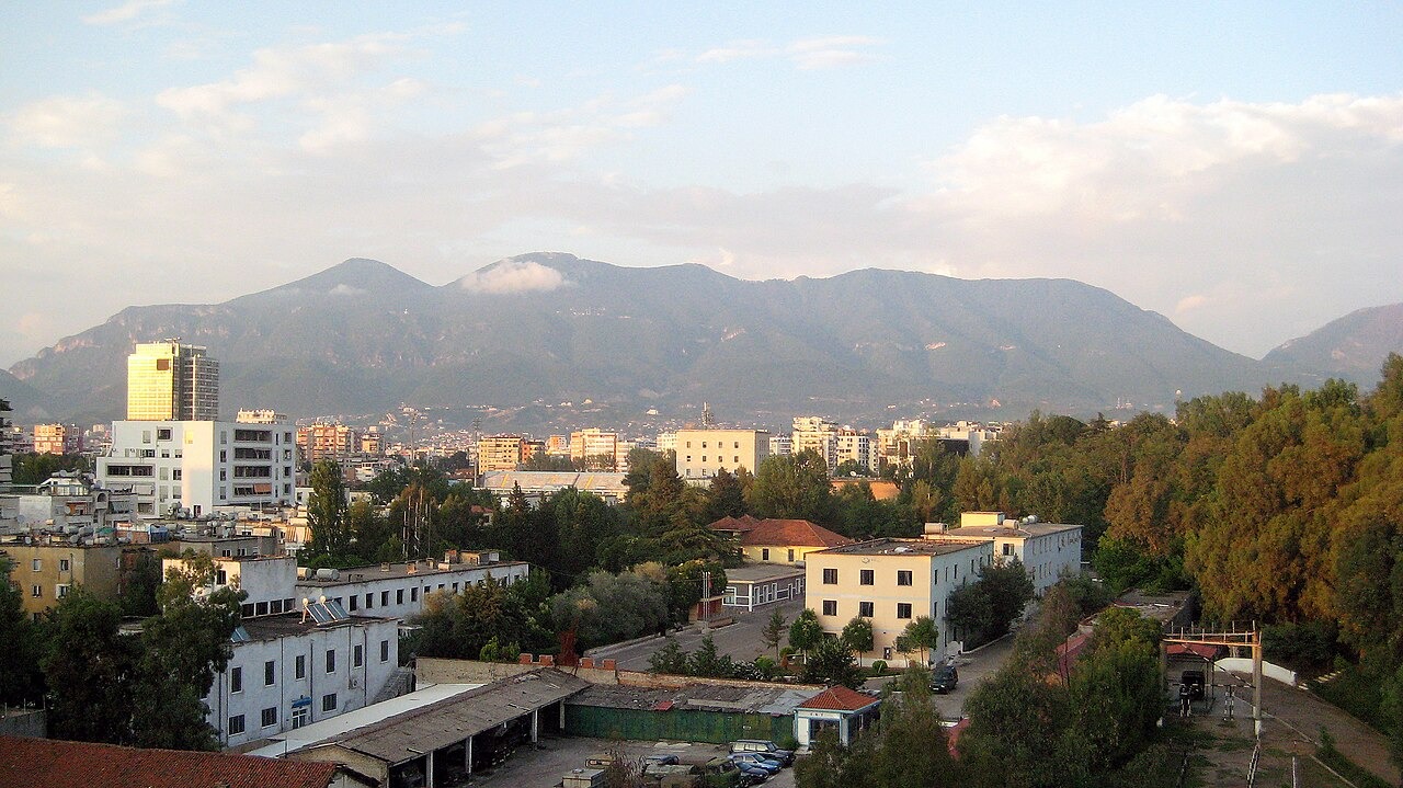
Geology and Protected Landscape
Albania's National Agency of Protected Areas describes the park around Dajti as spanning two tectonic zones, a distinction that shapes the ridge's physical character. Structural escarpments and limestone cliffs dominate the upper elevations, while the broader park supports a layered vegetation sequence moving from Mediterranean shrubs at lower altitudes through oak and then beech forest. Karst processes beneath the limestone govern regional groundwater across the range.
The Dajti Ekspres Connection
According to the European Railway Research Documentation Centre, the Dajti Ekspres cableway opened in 2005, linking the city directly to a high terrace below the summit crest. The line ends below the summit on a terrace above the city. The castle site is another landmark on the mountain.
Park Designation
The Albanian government's 2022 decision established the park's current boundaries and formal designation as a protected area, according to the national protected areas agency. The summit area is recorded by Albania's tourism agency at approximately 41.366 N, 19.924 E, coordinates that describe the broader summit zone rather than any single fixed point on the ridge.