
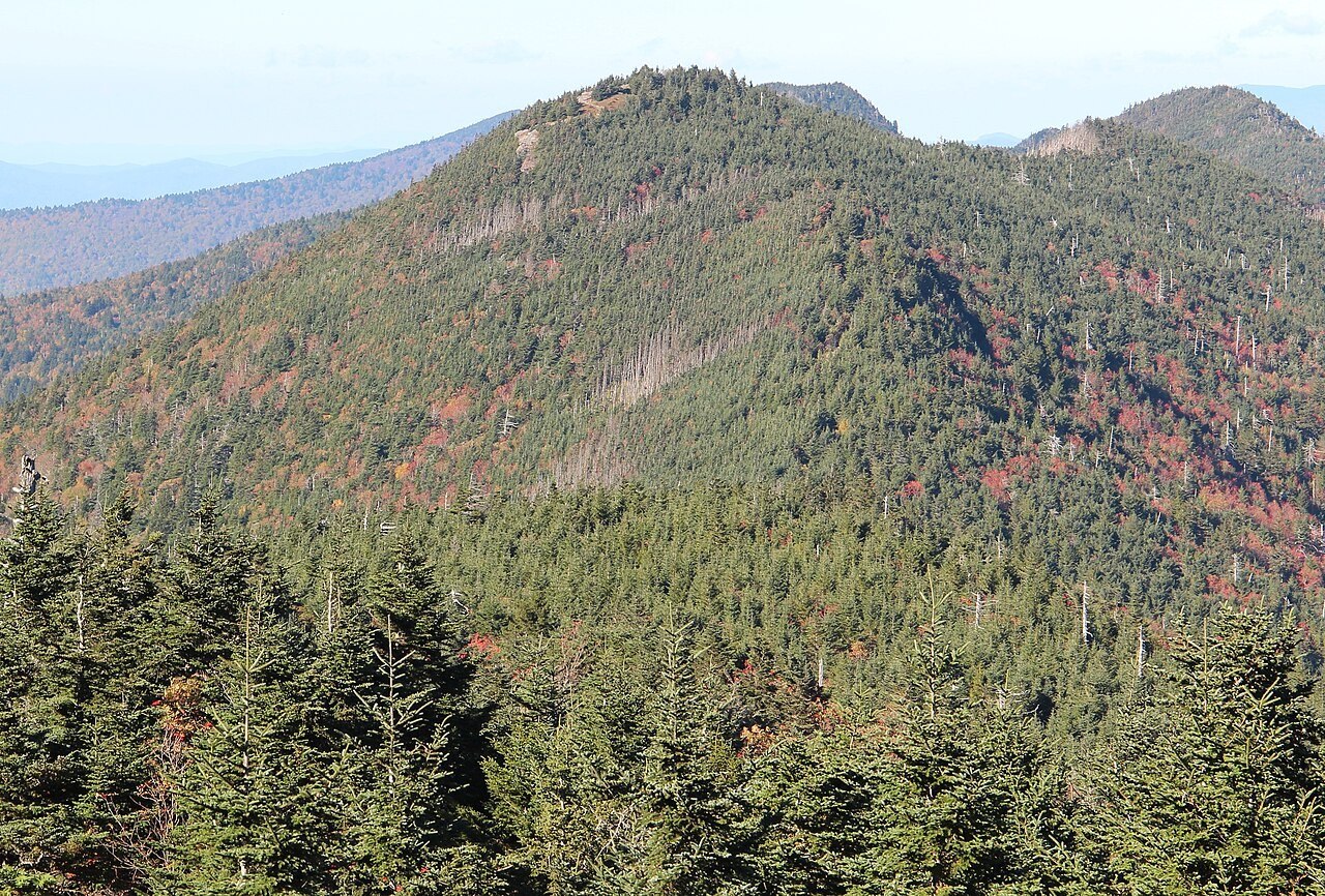
A Compact Sequence of High Summits
The Black Mountain crest holds a compact sequence of high summits within a single state park: Mount Mitchell, Big Tom, and Mount Craig succeed one another along the ridgeline. Big Tom takes its name from Thomas Wilson, the nineteenth-century guide and bear hunter whose reputation was built in these mountains.
Named for a Governor, Founded on a Law
The park's general management plan records that Governor Locke Craig responded to commercial logging stripping the Black Mountains of old-growth forest. His intervention supported the legislature's enactment of a law in March 1915 establishing Mount Mitchell State Park—North Carolina's first—and the peak bearing his name marks that legislative moment.
The Federal Elevation Record
Survey measurements of closely ranked summits are periodically revised as reference datums are updated. The current state park map gives 6,648 feet as the official figure, superseding the earlier management plan value. The U.S. Board on Geographic Names maintains the authoritative federal entry for Mount Craig.