
Basement Rock and the Cowen Gneiss
The area around Mount Cowen serves as the type locality for Mount Cowen Gneiss, a designation credited to Reid et al. and documented in the 1983 USGS mineral resources survey. This unit belongs to the North Snowy Block, a geological label for a northwestern portion of the Beartooth basement complex, within terrain that the state inventory places geographically in the Absaroka Range. Research published in 1988 described the material as an Archean granitic augen gneiss, where augen refers to lens-shaped mineral grains visible within foliated metamorphic rock. The Archean age records when the rock crystallized and was later deformed, not when the present summit took shape.
South Face and the Ridge Viewpoint
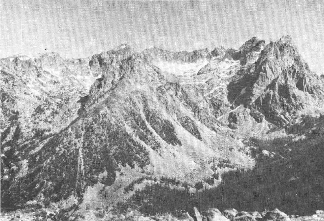
A photograph published in USGS Bulletin 1505 in 1983 shows Mount Cowen's south face from the ridge dividing Elbow Creek from the East Fork of Mill Creek. The image reveals a steeply dissected flank of crystalline gneiss, the same formation that defines the summit's bedrock character.
Glacial Imprint on the Surrounding Landscape
USGS glacial geological mapping documented sequences of end moraines west of Mount Cowen and across the northern Yellowstone valley, recording successive positions of Pleistocene ice margins. These moraines represent a younger landscape record distinct from the Archean basement beneath the summit, and the pattern of deposition near the mountain reflects local valley glacier activity.