
A Hill That Shapes Local Catchments
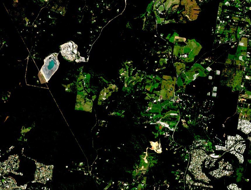
The Queensland Wetlands Program identifies the hills of western Redlands — among them Mount Cotton and Mount Petrie — as sources feeding the creek systems draining toward the coast. Eprapah Creek draws from the upper catchment near Mount Cotton, though the Program describes this as broad catchment influence rather than a point source.
The Eastern Escarpment Conservation Area
The upper catchment around Mount Cotton is protected within the Eastern Escarpment Conservation Area, administered by Redland City Council to safeguard the Eprapah Creek catchment. The reserve sits within a wider network that includes Venman Bushland National Park and Bayview Conservation Area, maintaining connected habitat across a landscape under pressure from surrounding suburban development.
Hill and Suburb: A Shared Name, Separate Geographies
The suburb of Mount Cotton, in Redland City, takes its name from the hill but covers a substantially larger area of residential and semi-rural land. The hill itself is a discrete landform — a low, isolated rise — whose geographic identity predates the suburban name it eventually lent to the surrounding area.