
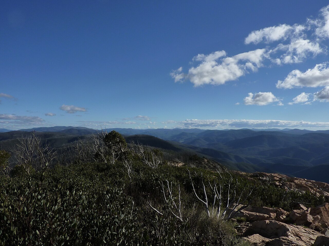
A Summit on the Border Ridge
The Brindabella Range runs north–south along the ACT–NSW border, and Mount Coree anchors its northern end within a sequence of linked summits. The main divide places the summit on the state boundary itself, and the range reads as the western skyline from Canberra, with Coree among the more prominent profiles in that prospect.
Steep Ridges and the Headwaters of Mountain Creek
Sharp ridges fall away from the main divide around Mount Coree, and the NSW Brindabella National Park Plan of Management associates this terrain with the headwaters of Mountain Creek. The contrast between abrupt ridgelines and the creek's nascent watercourses gives the upper catchment a dissected character distinct from the gentler topography lower in the range.
Two Parks, One Range
Namadgi National Park, declared in 1984, protects the ACT country adjoining Mount Coree to the east. The two reserves share a boundary along the ridge but are separately administered — Brindabella by NSW and Namadgi by the ACT Government. Namadgi's management plan recognises the Ngunnawal people as traditional custodians of the ACT country the park encompasses.