
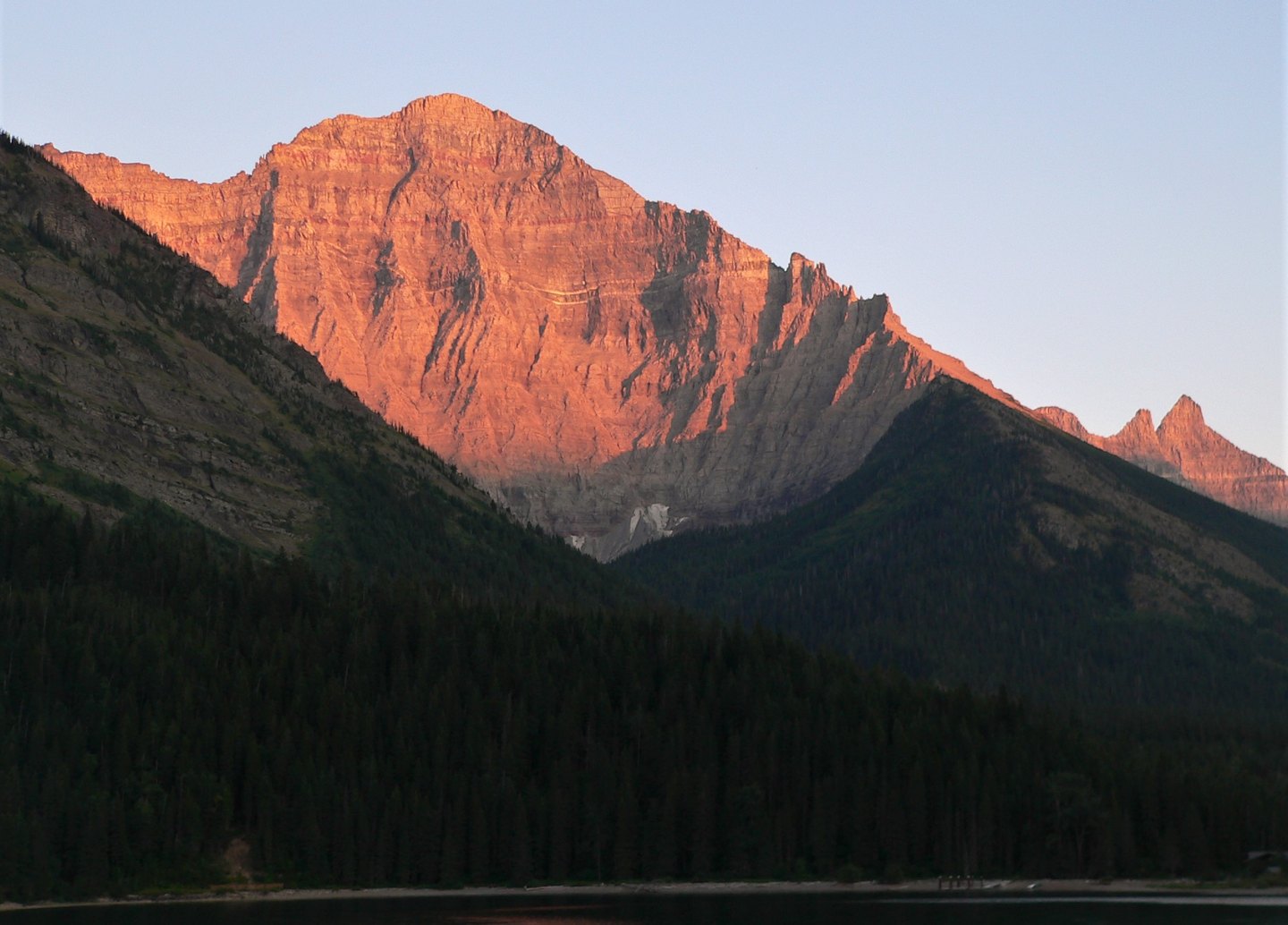
The Goathaunt Member and Its Strata
NPS maps the Goathaunt Member of the Helena Formation in the cirque rock wall between Mount Goat Haunt and Mount Cleveland. The unit includes dolomite and limestone bearing ripple marks and mud cracks. An early published geological plate depicts approximately 366 m of measured exposure on the spur.
The Purcell Sill
NPS identifies a dark Purcell igneous sill on Mount Cleveland. A sill forms when magma forces its way between existing rock layers and solidifies in place rather than erupting at the surface. The NPS description notes pale altered borders along the margins of this visible intrusion, where heat from the intruding body affected the surrounding sedimentary rock.
Postglacial Woodland Record
USGS fieldwork dated pine fragments recovered from the upper Waterton valley, west of the mountain, to approximately 10,000 years ago. This constitutes a dated record of postglacial woodland returning to the valley landscape following glacial retreat.