
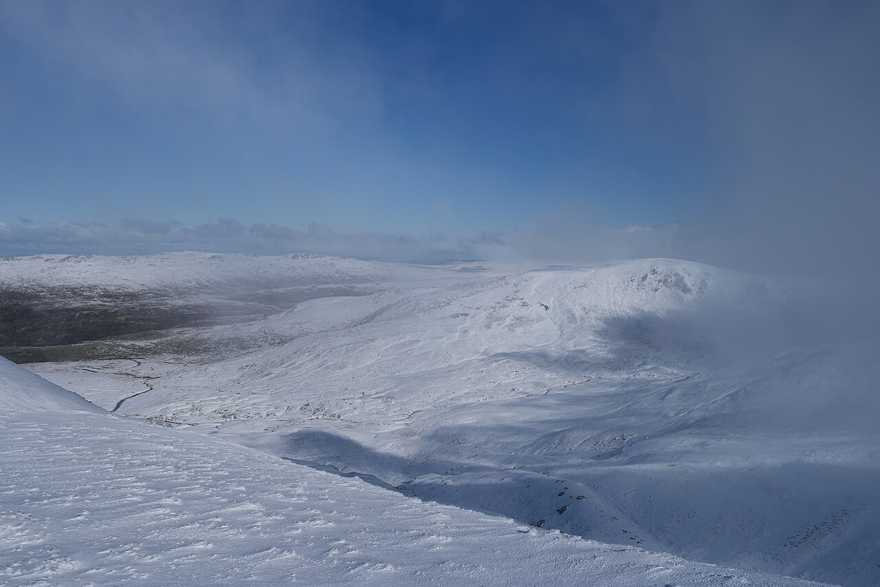
Position and Name on the Main Range
Mount Clarke sits on the Kosciuszko Main Range beside Mount Northcote in Kosciuszko National Park, at approximately 2,100 metres elevation. The summit's name appears on the Royal Botanic Gardens Sydney's 1981 regional map of the Kosciuszko area, one of the more systematically compiled historical references for the district's named peaks.
The Old Road and Charlotte Pass
A road through the valley below the Main Range near Charlotte Pass once carried public vehicle traffic into the high country. NSW Parks records its closure to public vehicles in 1976. The road runs at a lower elevation than the Main Range ridge, placing Mount Clarke's summit well above the old road corridor.
A Landscape Shaped by Pleistocene Ice
The Kosciuszko Massif preserves evidence of repeated glacial activity during the late Pleistocene. Research on the region's glaciation has established that ice occupied the surrounding highlands at different intervals, shaping the rounded ridgelines and valley forms across the Main Range. Mount Clarke's contours reflect these long-term processes of glacial erosion and periglacial weathering.