
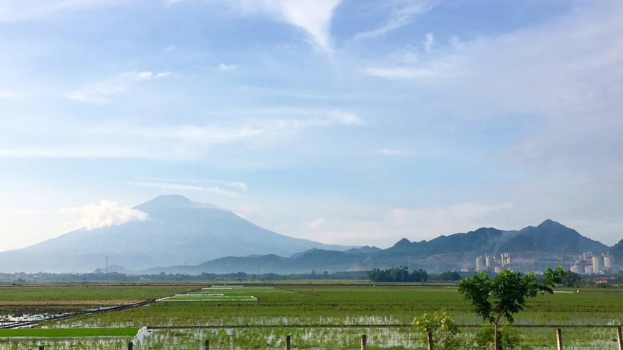
Volcanic Structure and Eruption History
Ciremai's cone sits on the northern edge of the pre-existing Geger Halang caldera. Multiple vents at the summit have produced an elongated crater rather than a single opening. The Global Volcanism Program notes alternative hypotheses regarding the formation of the older Geger Halang structure. The volcano has a documented history of explosive eruptions and lahars, with the most recent confirmed eruption in the Smithsonian catalogue dated to 1951.
Recorded Elevation and Regional Identity
The national park authority and the Geological Agency of Indonesia both record the summit at 3,078 metres, the figure supporting its status as the highest point in West Java. The Smithsonian Global Volcanism Program, cataloguing the mountain as a volcanic system, lists 3,039 metres. The available sources do not state the reasons for the difference between these survey datasets.
National Park and Forest Restoration
On 19 October 2004, the Indonesian Forestry Ministry formally gazetted the surrounding forests as Mount Ciremai National Park. Park documentation records the surili, a primate endemic to West Java and considered endangered, within the park's montane forest zones, distinguished from the exposed summit. The Pejaten block within the park has been the site of documented restoration activity reported by the Forestry Ministry.