
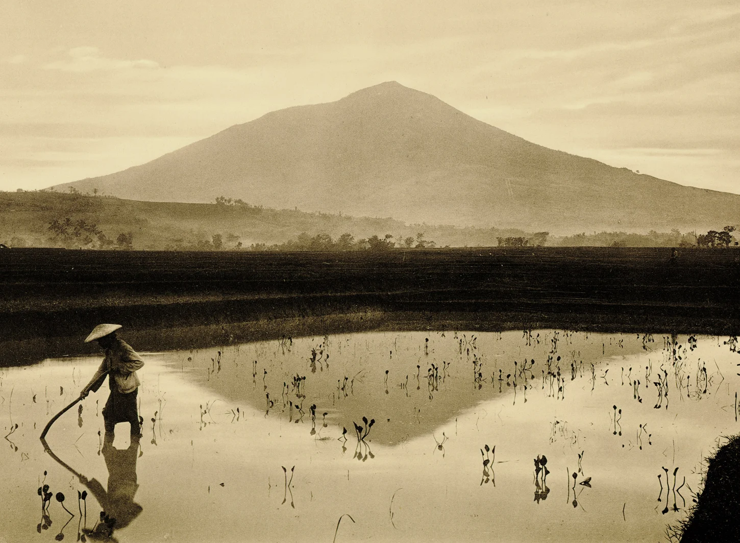
Quaternary Edifice and Regional Complex
Cikuray is a Quaternary volcanic edifice constructed from basaltic-andesite lava flows interbedded with pyroclastic and lahar deposits. It sits within the Pliocene–Quaternary Triangular Volcanic Complex of West Java, a regional geological field that groups several neighbouring volcanoes, including Papandayan, within a shared tectonic framework.
1999 Geological Mapping
A geological mapping project in 1999 documented Cikuray's volcanic evolution, identifying a crater within the edifice and recording stratigraphic evidence of multiple eruptive phases through lava flows, pyroclastic units, and lahar deposits; the deposit record as published spans the cone's Quaternary growth history.
Garut Geoheritage Recognition
The Indonesian Geological Agency includes Cikuray in Garut Regency's geoheritage dossier as a well-preserved example of Quaternary cone-building volcanism. The mountain's stratigraphy, documented through successive flow and deposit sequences, constitutes the physical record of cone growth within a highland basin where volcanic topography shapes the broader landscape of West Java.