
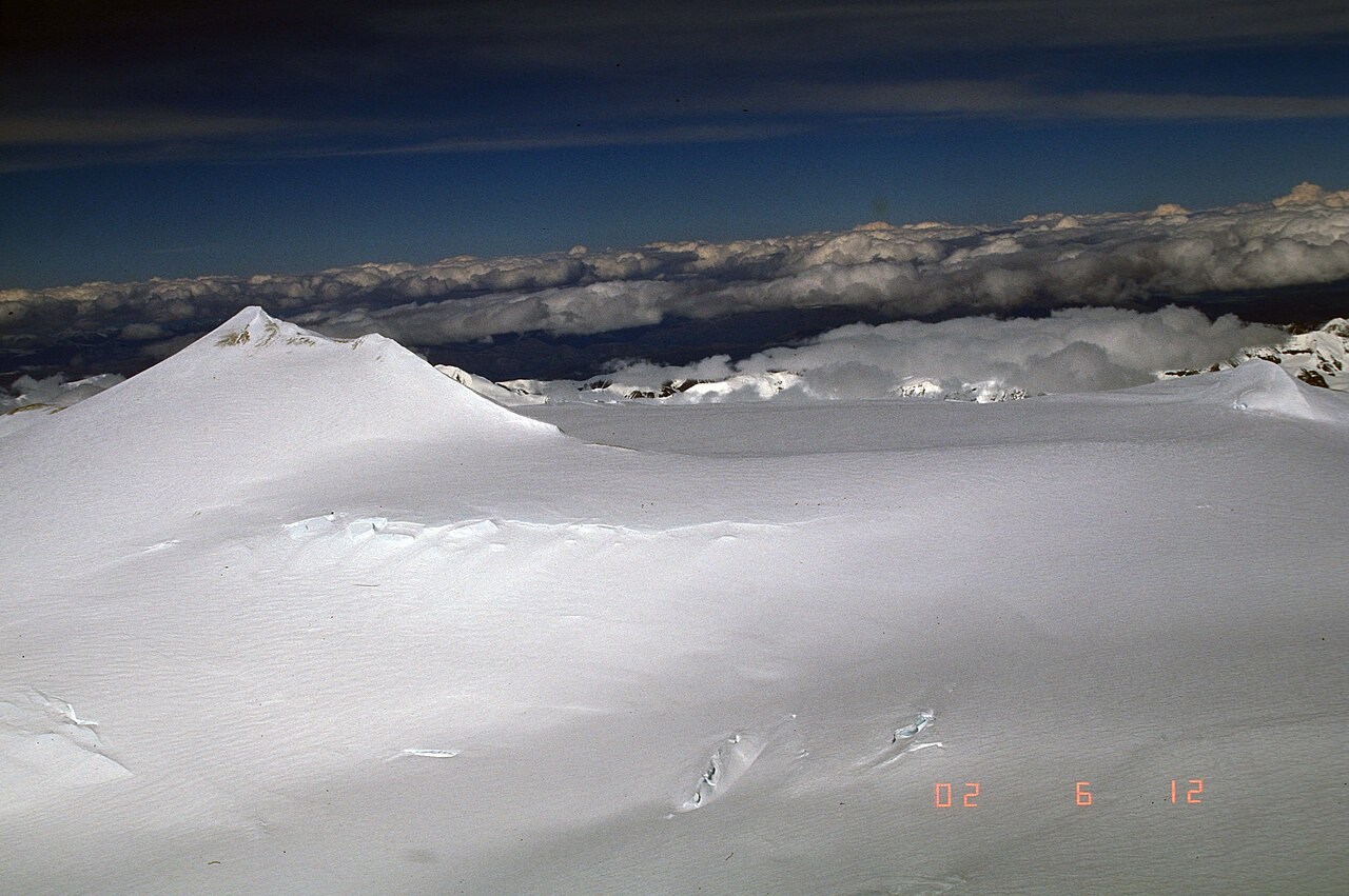
Summit and Caldera
The ice-covered summit caldera of Mount Churchill lies 4,766 metres above sea level. The mountain stands in the Saint Elias Mountains at the eastern end of the Wrangell volcanic field.
White River Ash
USGS mapping and tephra analysis traced two large White River Ash lobes, spread across Alaska and Yukon Territory, to separate eruptions at Mount Churchill. The northern and eastern lobes are geochemically distinct deposits, and their identification through field work and laboratory analysis established the mountain as a major contributor to regional stratigraphy.
The 852/853 CE Eruption
A 2022 multiproxy study placed the eastern lobe eruption in winter 852/853 CE, with an uncertainty of about one year. The study identified matching microscopic ash in Greenland ice cores and in deposits as far away as Europe, confirming the eruption's reach across the northern hemisphere.