
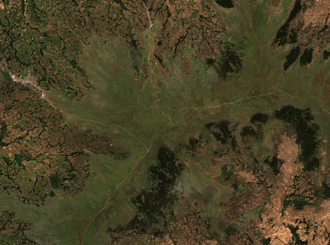
Summit and Upper Terrain
World Ribus records the high point, Choke Terara or Birhan, at 4,100 metres. Above roughly 3,800 metres the landscape transitions into Afroalpine conditions characterised by open moorland vegetation and reduced agricultural activity. Field researchers working in this area have treated the upper zone as a continuous elevational band rather than assigning a discrete secondary summit altitude.
Abay Watershed Hydrology and Agroecosystem Structure
A 2013 agroecosystem analysis by Simane and colleagues, published in Sustainability, grouped subwatersheds of the Choke mountain system according to physical land conditions and mixed crop-livestock agricultural practices. The study documents how cultivated sites near high-altitude margins integrate grain crops and livestock grazing across varying slope gradients, reflecting the watershed's role in regional food production.
Soil Survey Across Agricultural Slopes
Assefa and colleagues conducted a soil quality study across the Choke watershed, sampling the agricultural landscape at lower and mid elevations. Their plot design deliberately excluded the upper protected Afroalpine site, so findings describe cultivated and grazed slopes rather than the summit zone. The research assessed indicators including organic matter and structural properties across slope positions within the working agricultural landscape.