
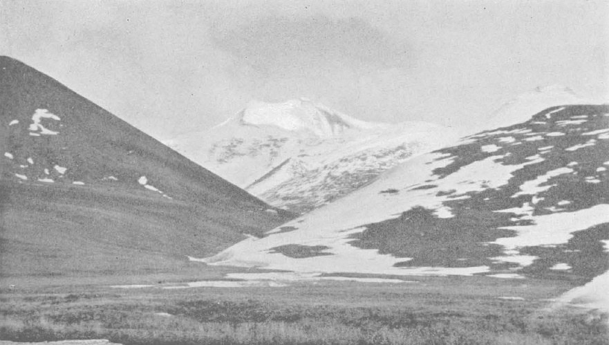
Leffingwell's Record and the Name
Geologist and explorer Ernest de Koven Leffingwell photographed and described Mount Chamberlin from Lake Schrader in his 1919 USGS report, noting a conspicuous two-topped, ice-clad mountain prominent from the lake. GNIS records indicate he named it for geologist Thomas Chrowder Chamberlin, who had participated in the 1894 Peary Auxiliary Expedition. Published elevations and rankings from historical sources vary, and the mountain's standing among Brooks Range peaks has not always been consistent across older maps.
The 2016 Measurement and Landform Evidence
The photogrammetry and GPS study published in 2016 by Nolan and DesLauriers returned a summit elevation of 2,712.3 m, a figure more than 30 m below values shown on earlier cartographic sources. The same study identified landform evidence consistent with past ice and rock avalanches on the mountain, though the authors could not establish whether such loss fully accounted for the discrepancy with the older map elevation. That uncertainty remains unresolved in the published record.
Lakes Peters and Schrader
The two interconnected lakes immediately north of Mount Chamberlin provided Leffingwell with his principal vantage point for observing and photographing the peak. The lakes sit within Arctic National Wildlife Refuge in the Franklin Mountains subrange, a distinct portion of the Brooks Range from the Romanzof Mountains farther east where Mount Isto is located. Leffingwell's plate XI photograph, reproduced in his 1919 professional paper, remains among the earliest systematic visual records of the mountain.